Old historical photos and images of Norwich, Norfolk
|
A small historical reference
Geography: Norwich is a city in Norfolk, on the River Wensum about 100 miles (160 km) north-east of London. As the county town of Norfolk and seat of the See of Norwich, with one of the country's largest medieval cathedrals, it is claimed traditionally as the chief city of East Anglia.
Date of foundation: 43 AD as Northwic
History:
Population: 143 135
Sights:
|
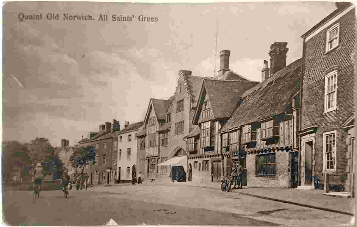
All Saint's Green |
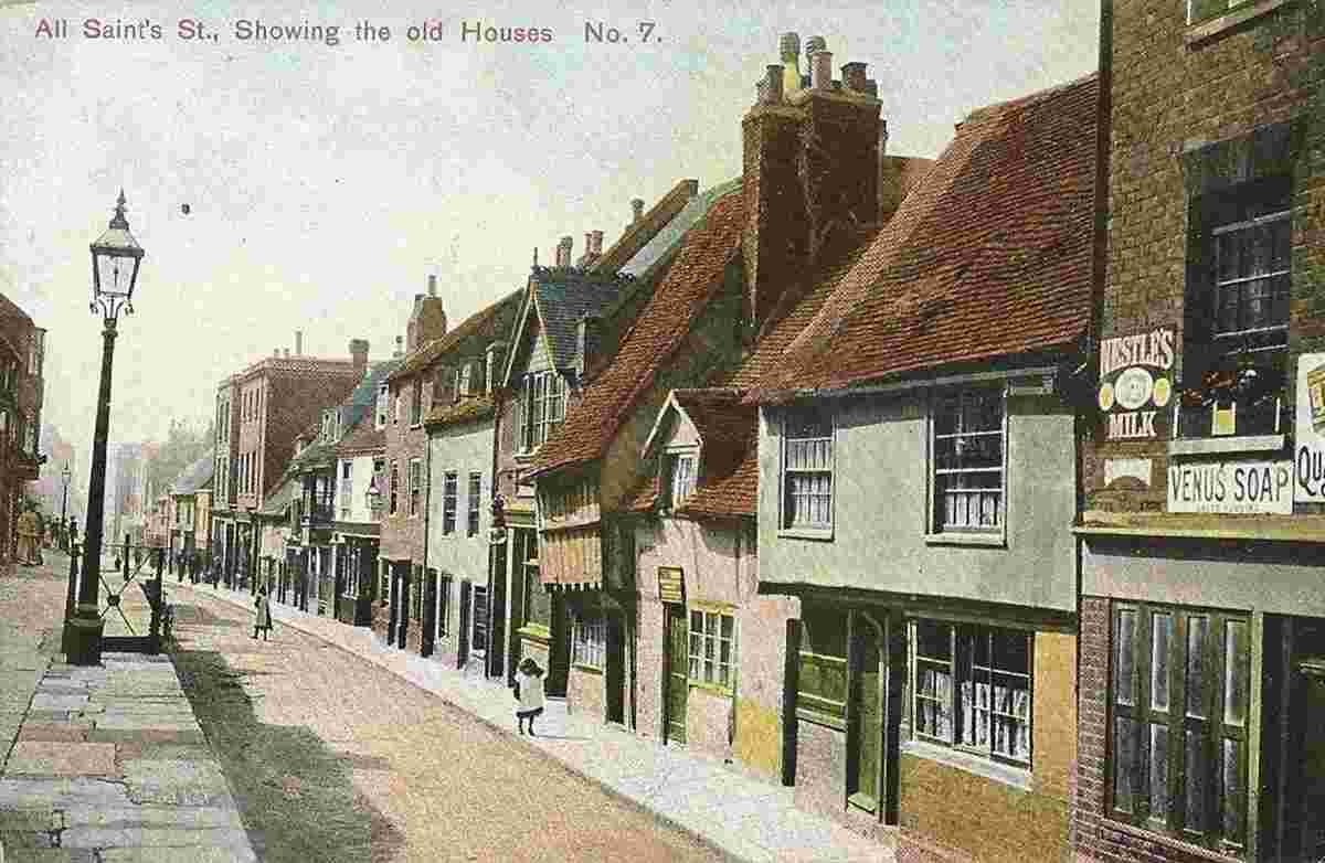
All Saint's Street |
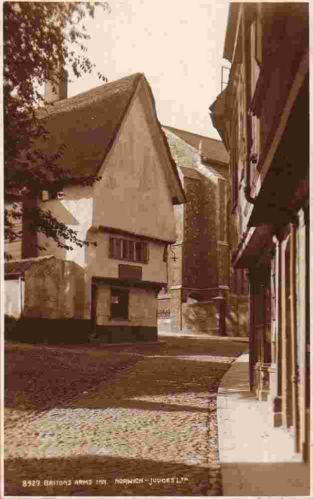
Briton's Arms Inn, 1910 |
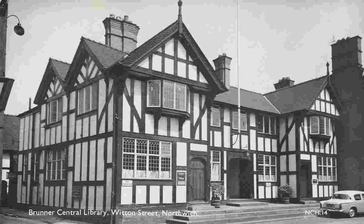
Brunner Central Library on Witton Street, 1966 |
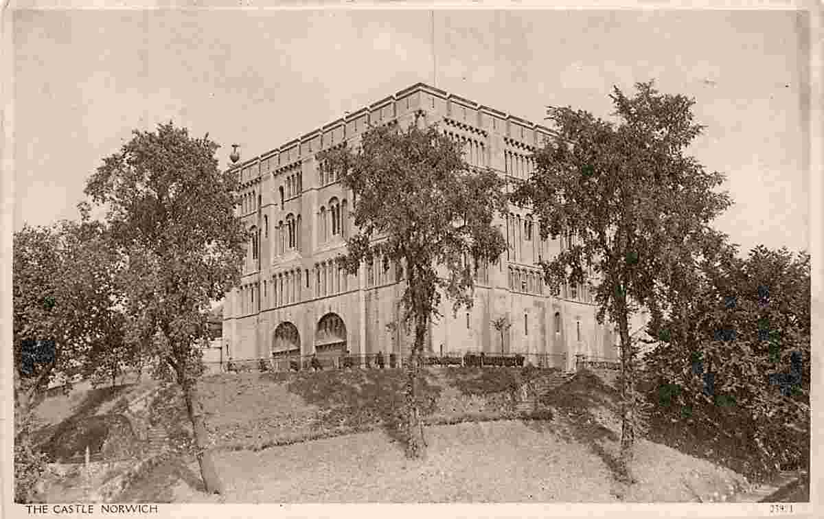
Castle, 1950 |
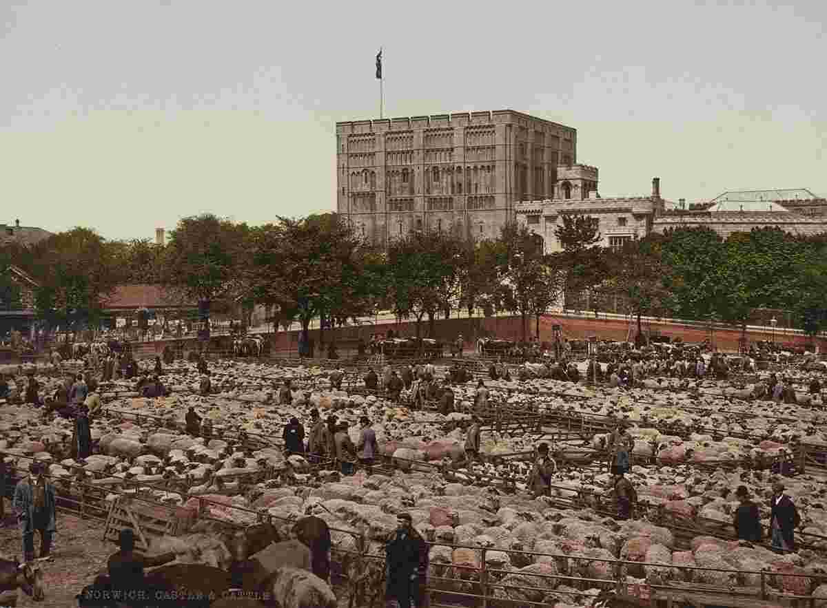
Castle and Cattle Market, 1890 |
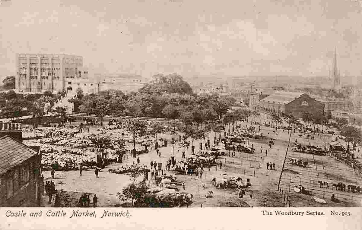
Castle and Cattle Market |
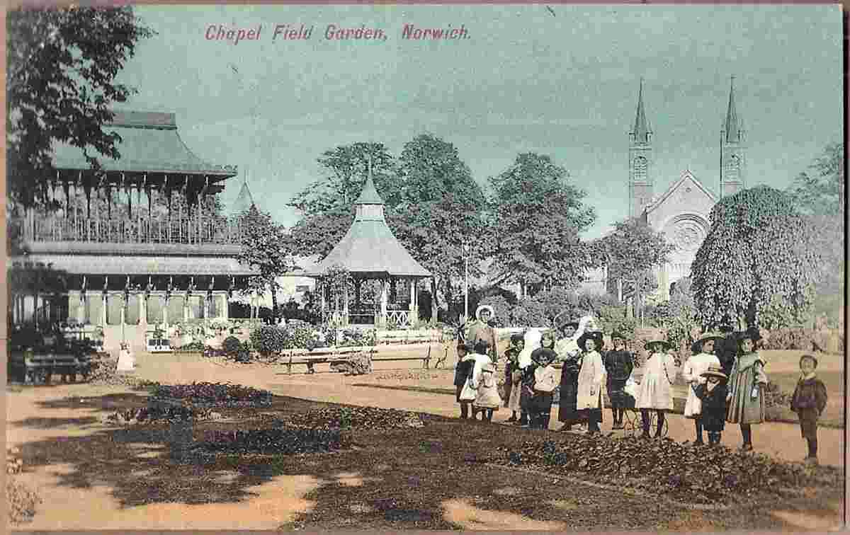
Chapel Field Garden |
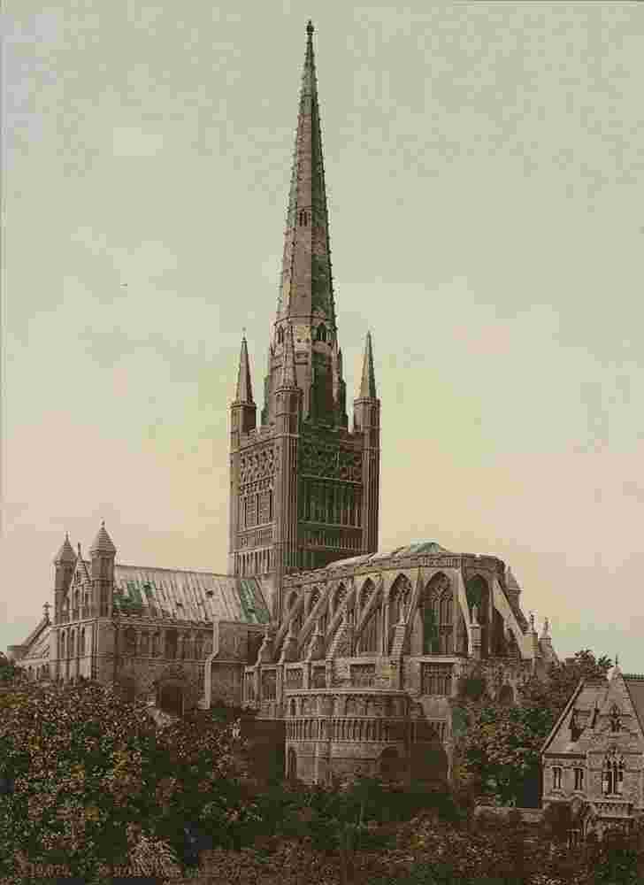
Cathedral, 1890 |
Cathedral, 1958 |
Cathedral |
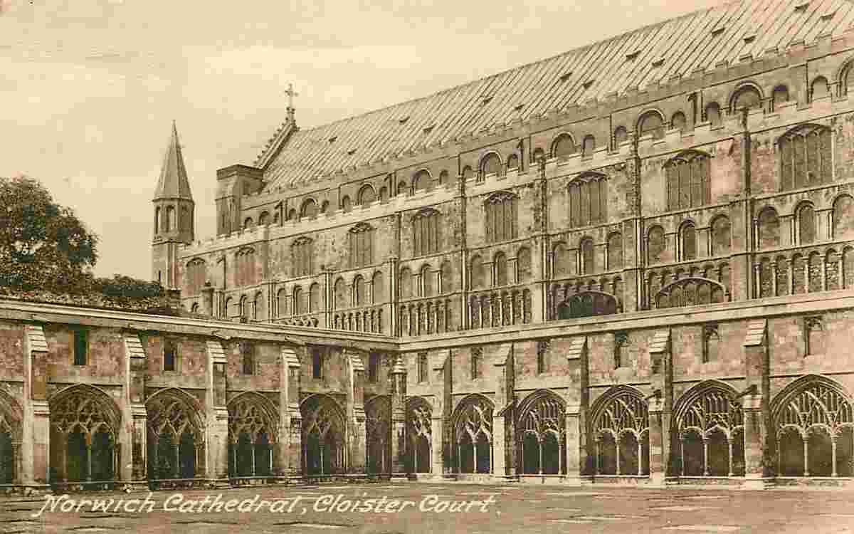
Cathedral, Courtyard |
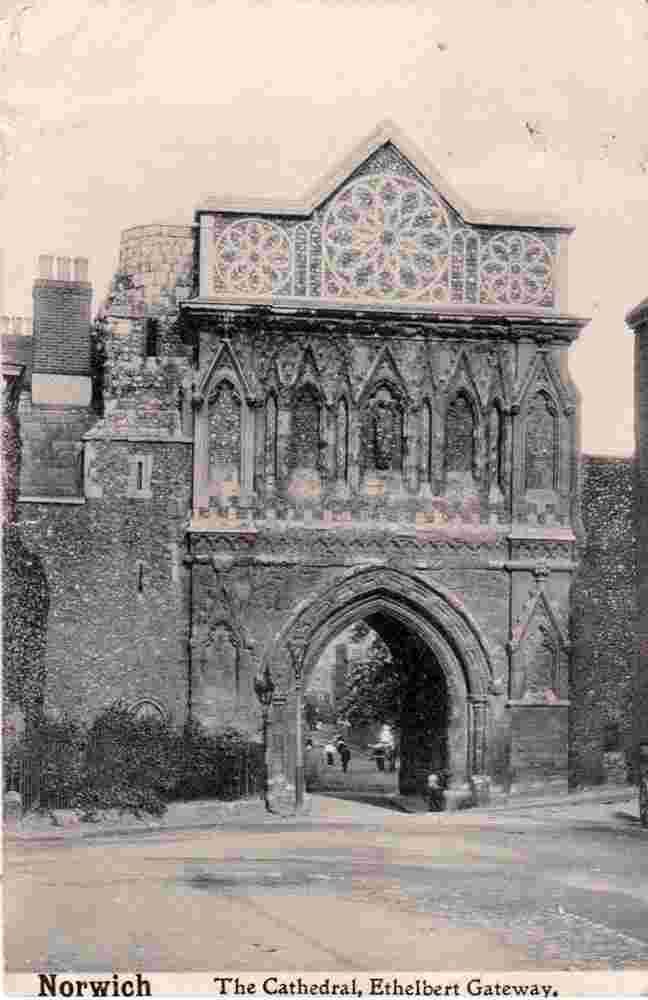
Cathedral, Ethelbert Gateway, 1905 |
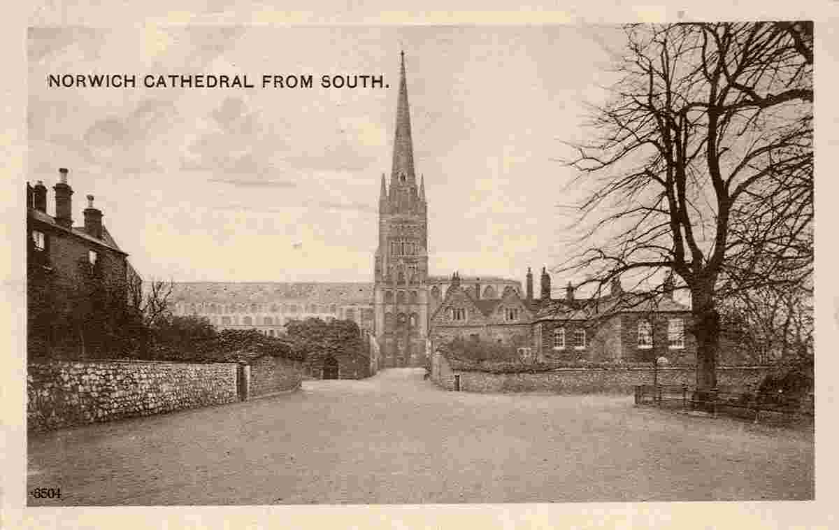
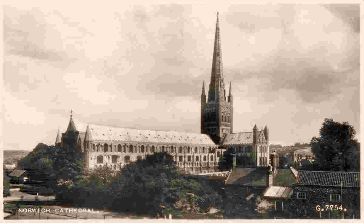
Cathedral from South |
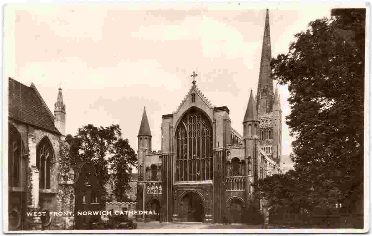
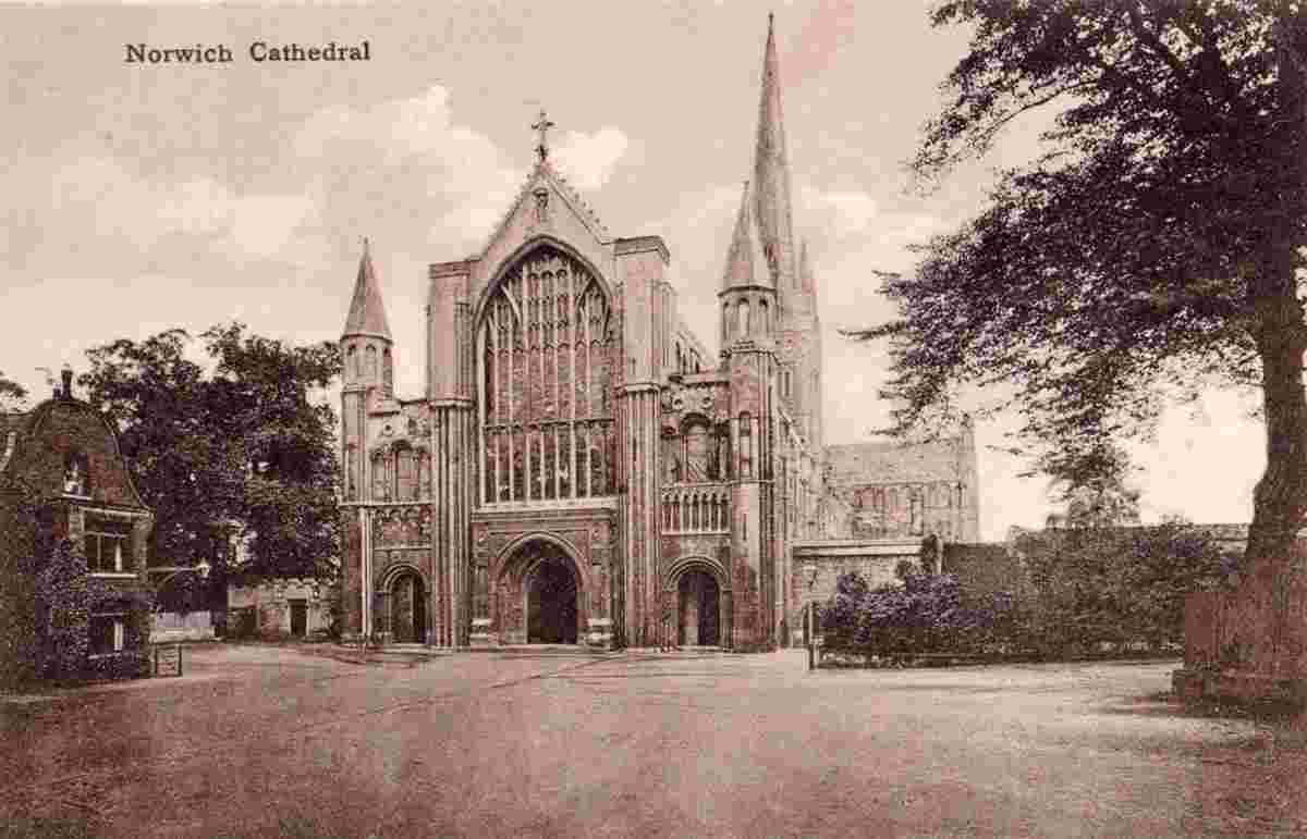
Cathedral, West front, 1933 |
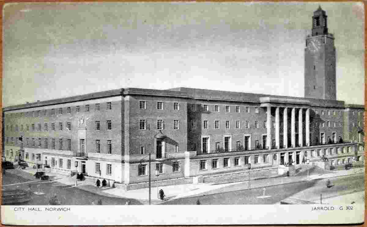
City Hall |
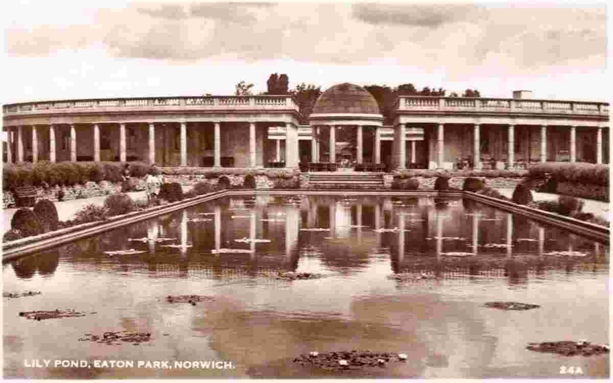
Eaton Park, Lily Pond |
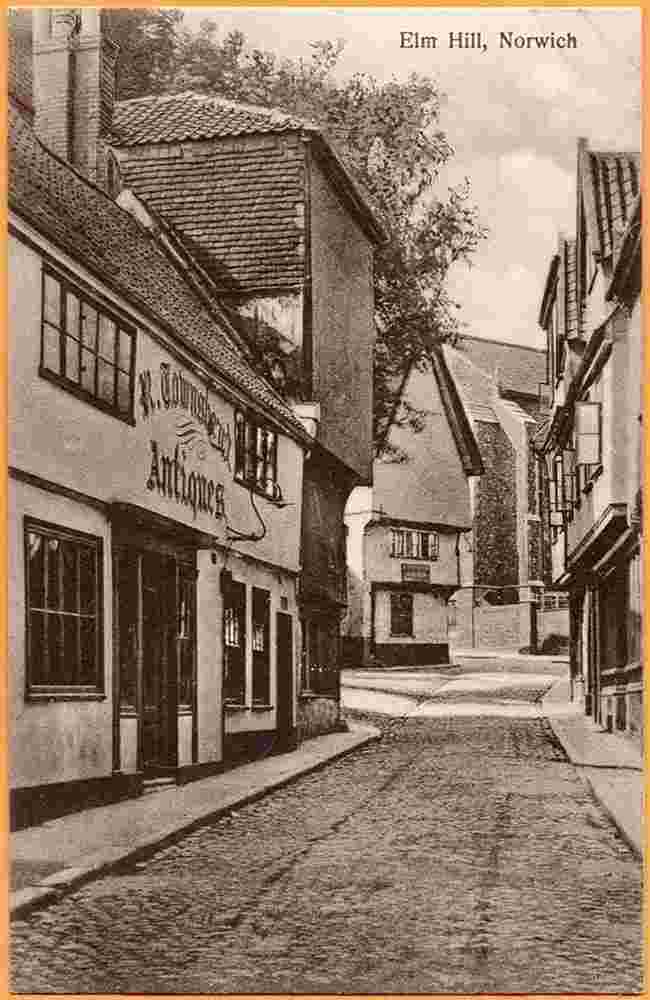
Elm Hill, 1910 |
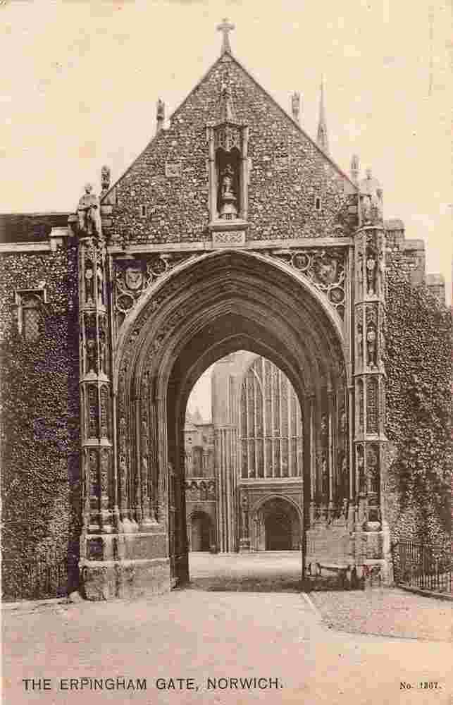
Erpingham Gate |
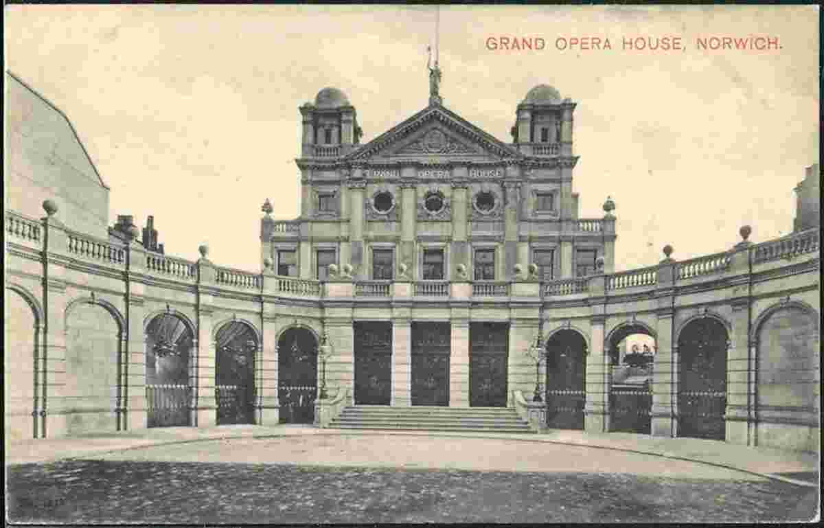
Grand Opera House, 1905 |
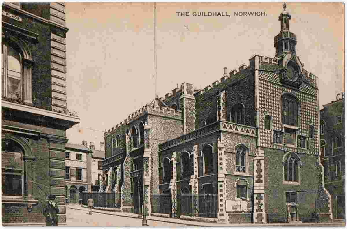
Guildhall |
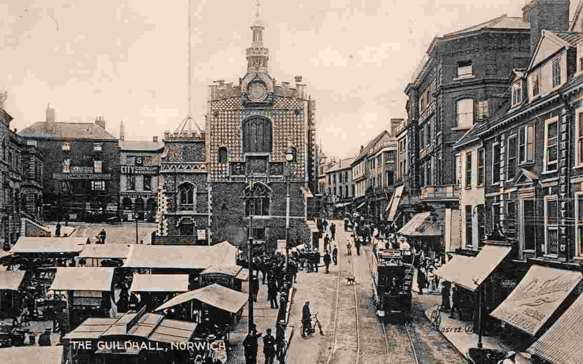
Guildhall and Market Place |
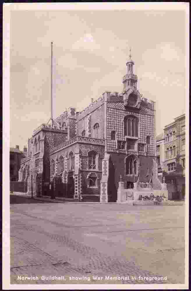
Guildhall, War Memorial in foreground |
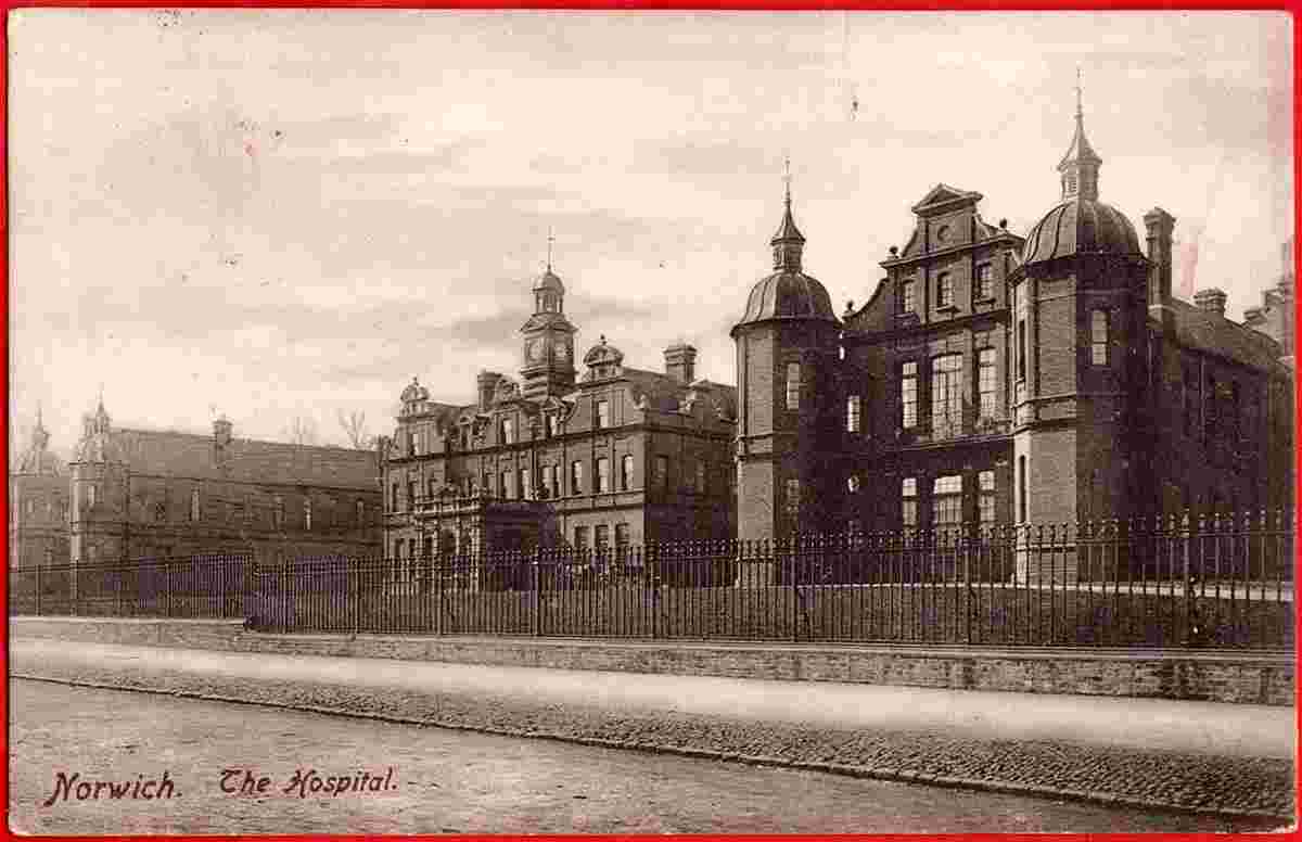
Hospital, 1907 |
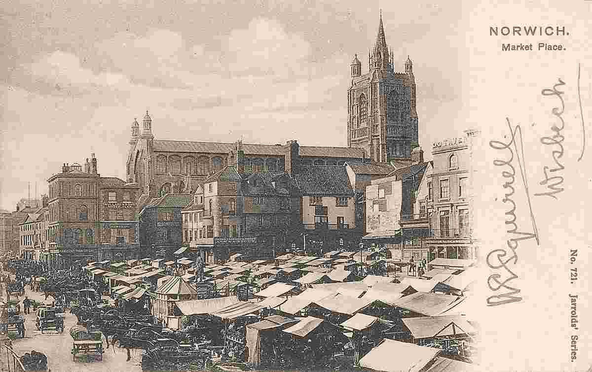
Market Place, 1902 |
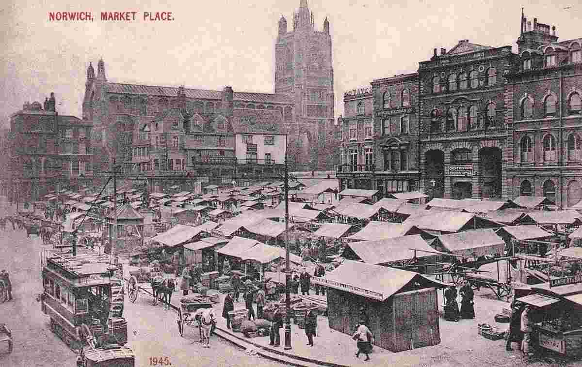
Market Place |
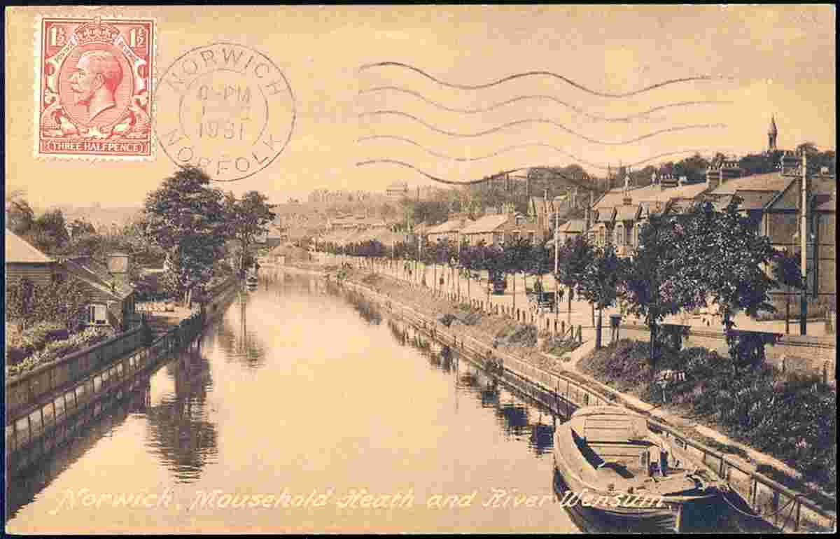
Mousehold Heath and River Wensum, 1931 |
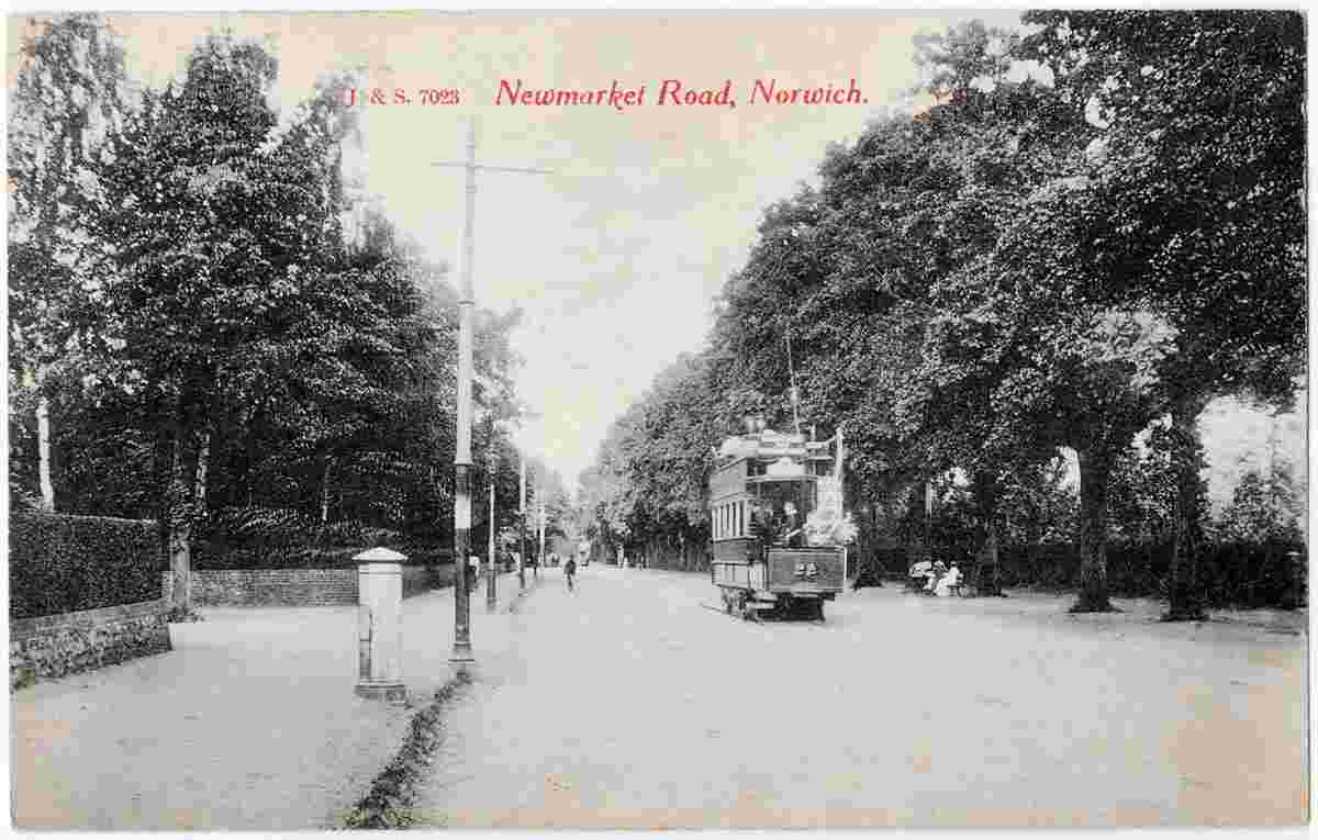
Newmarket Road, 1920 |
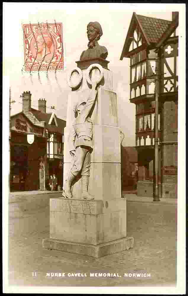
Nurse Edith Cavell's Memorial, 1931 |
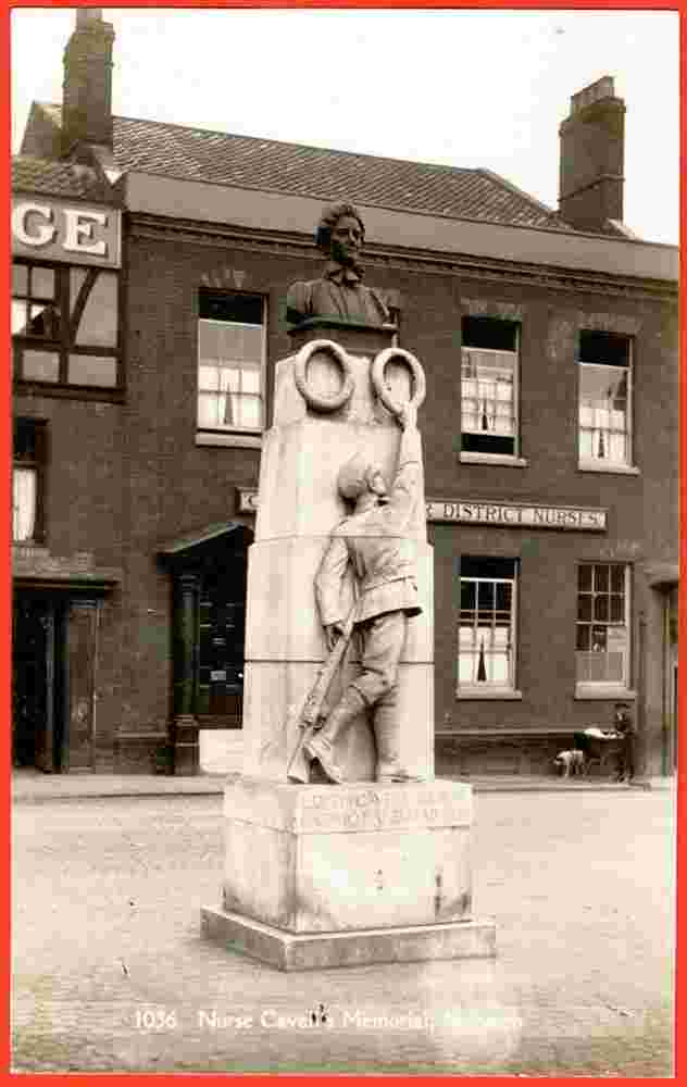
Nurse Edith Cavell's Memorial |
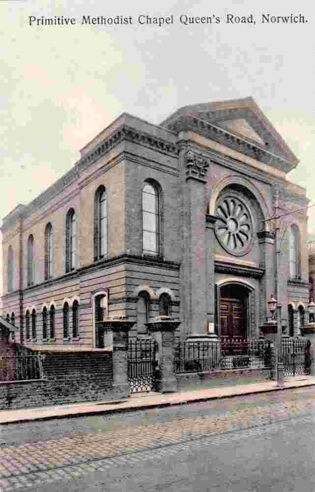
Primitive Methodist Chapel on Queen's Road, 1910s |
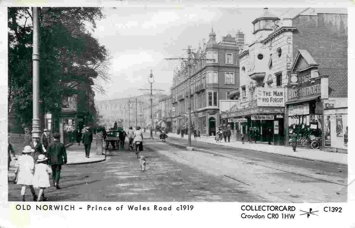
Prince of Wales Road, 1919 |
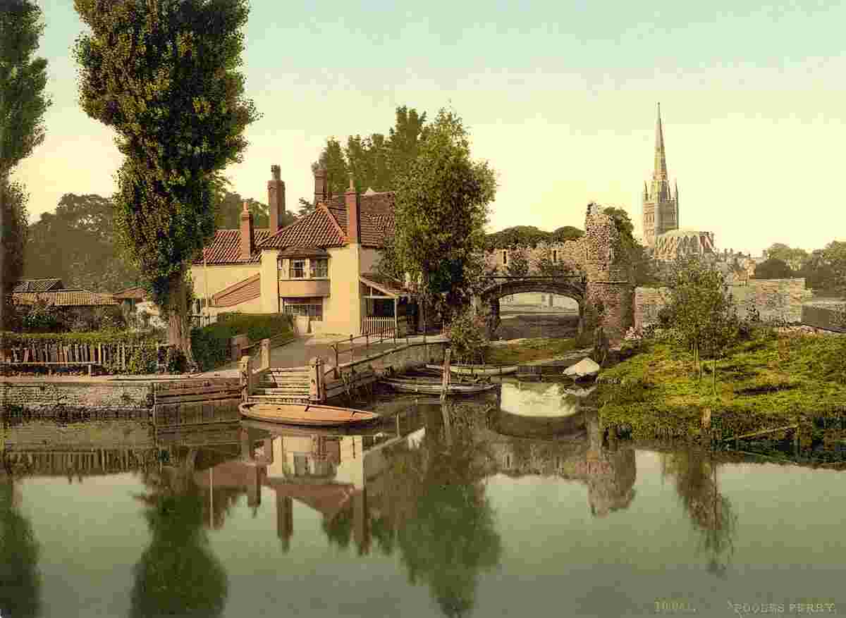
Pulls Ferry (Pooles ferry), 1890 |
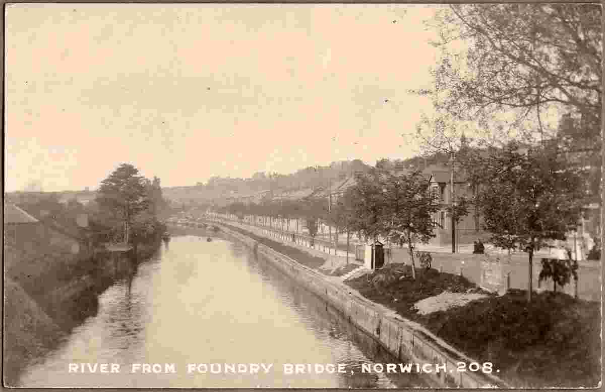
River from Foundry Bridge |
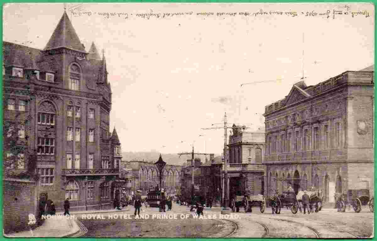
Royal Hotel and Prince of Wales Road, 1905 |
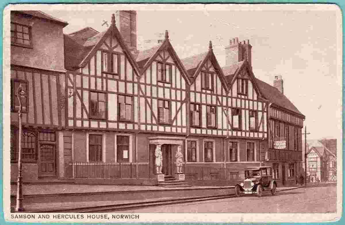
Samson and Hercules House, 1930 |
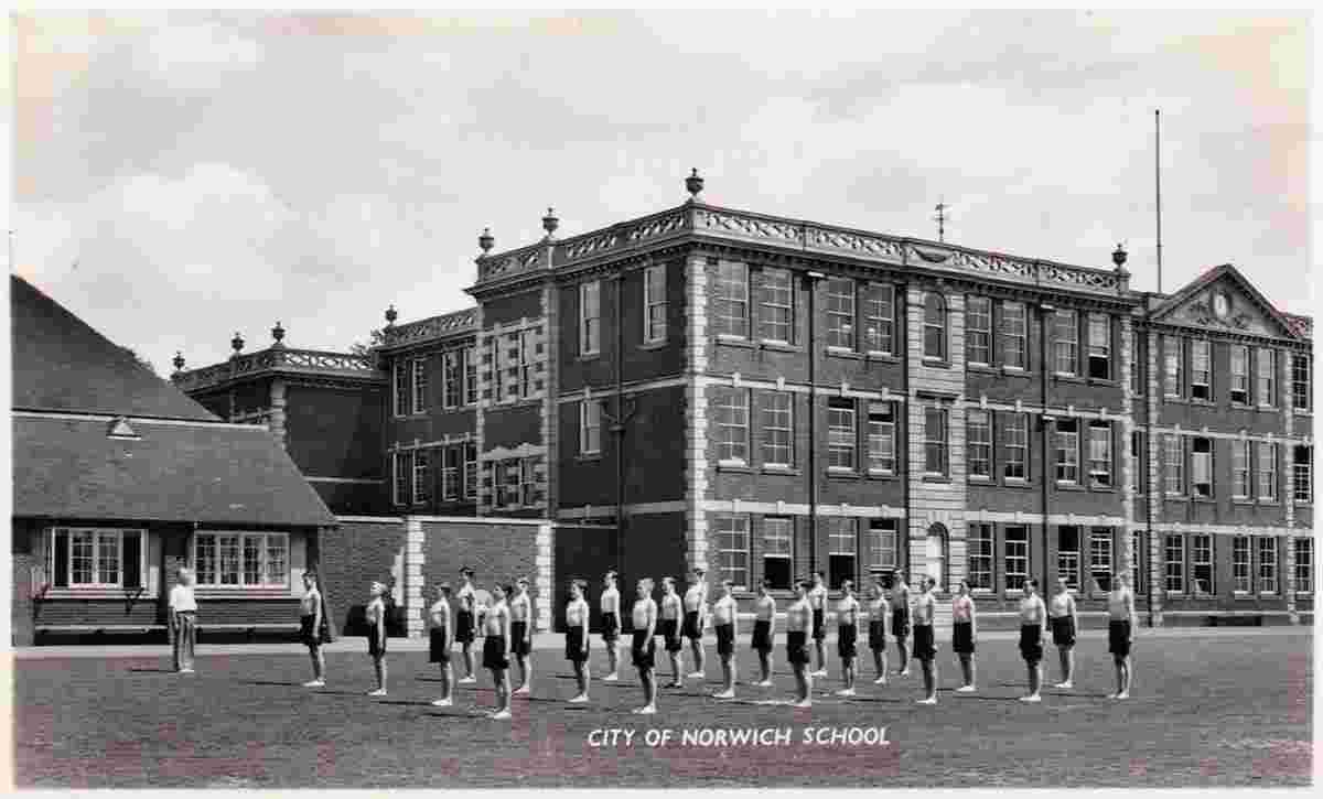
School |
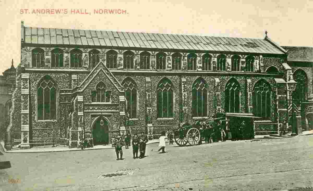
St Andrew's Hall, 1908 |
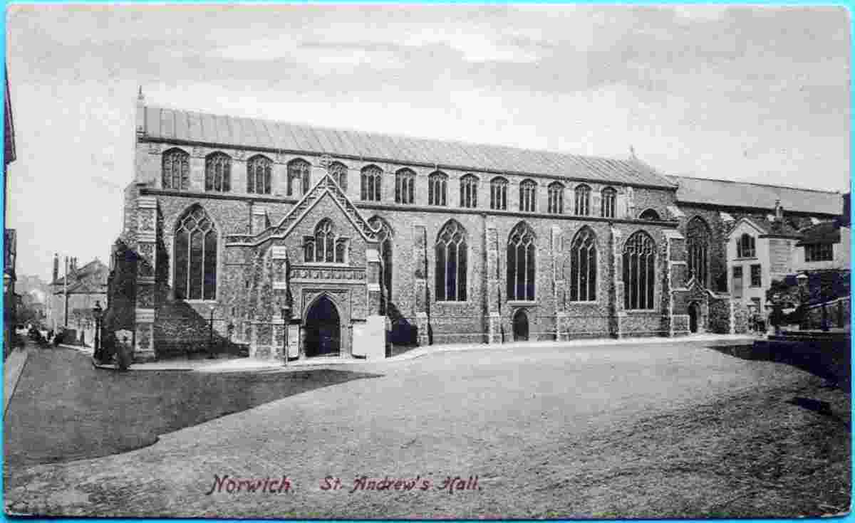
St Andrew's Hall, 1910 |
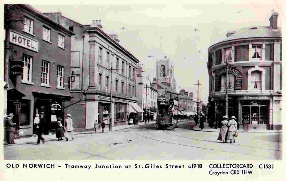
St Giles Street, Tramway Junction, 1918 |
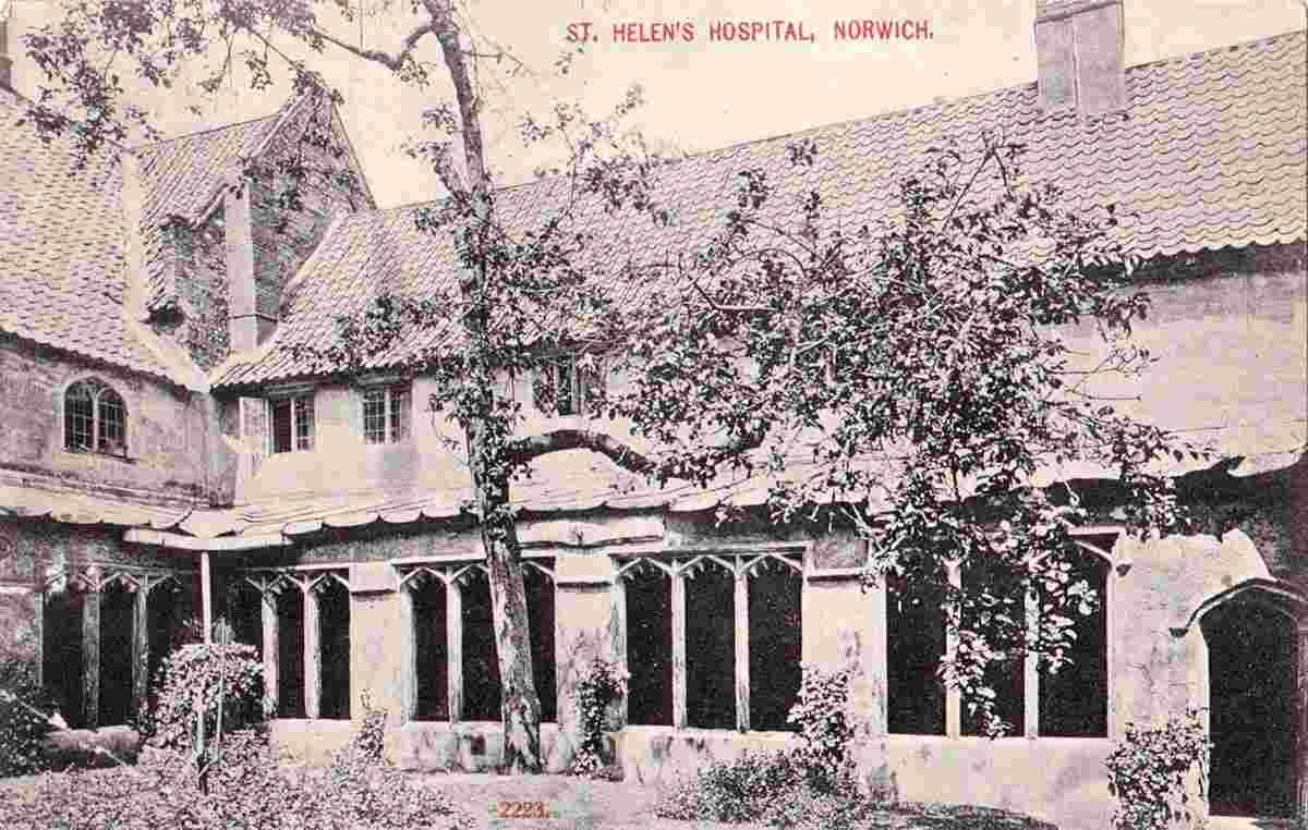
St Helen's Hospital, 1908 |
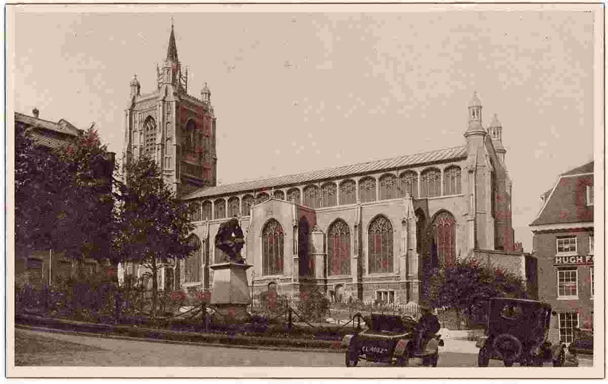
St Peter Mancroft Church |
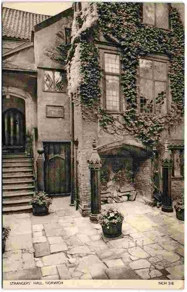
Strangers Hall, 1951 |
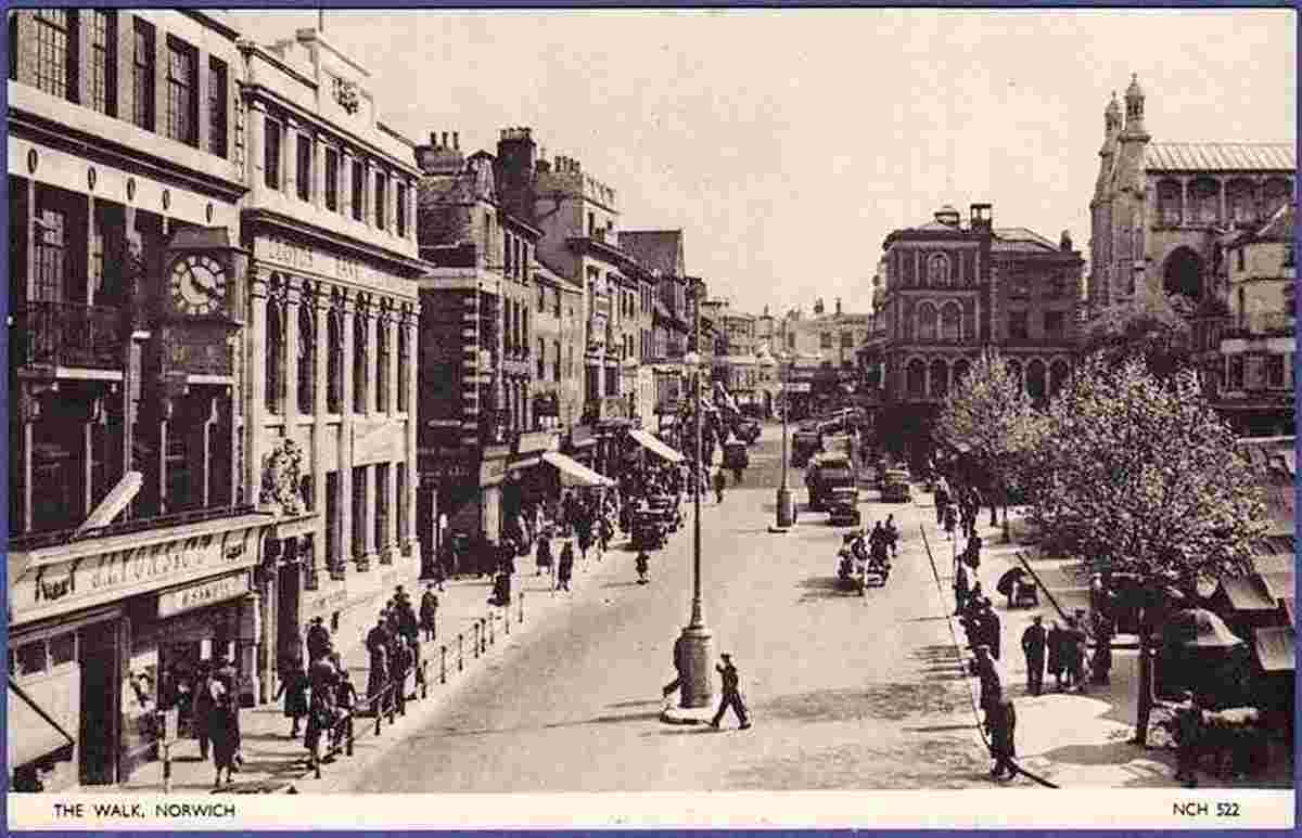
Walk |
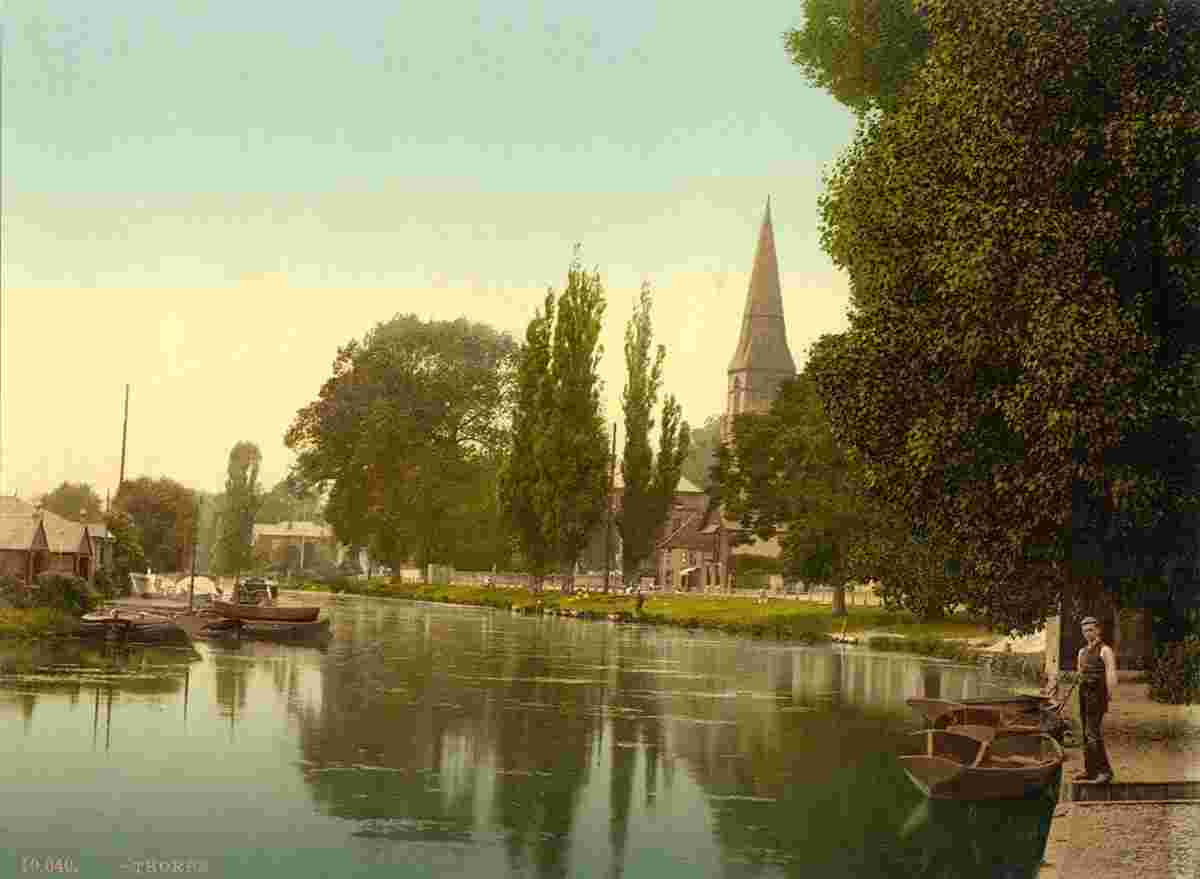
Thorpe, church and river, 1890 |
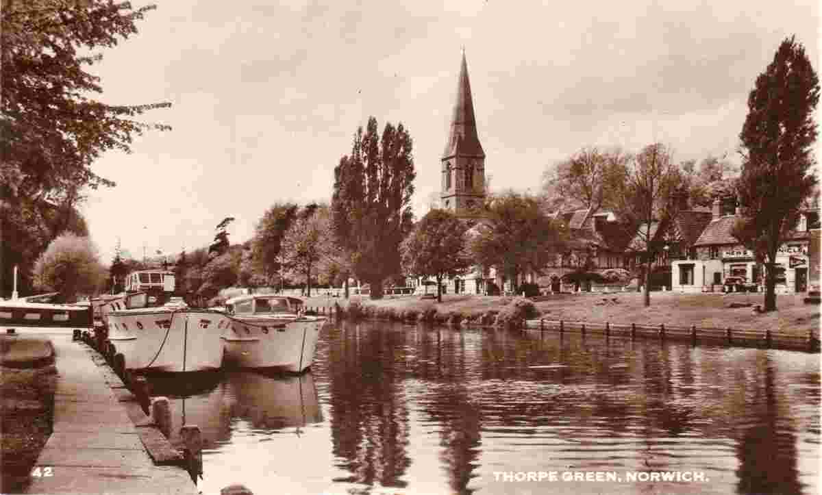
Thorpe Green, 1954 |
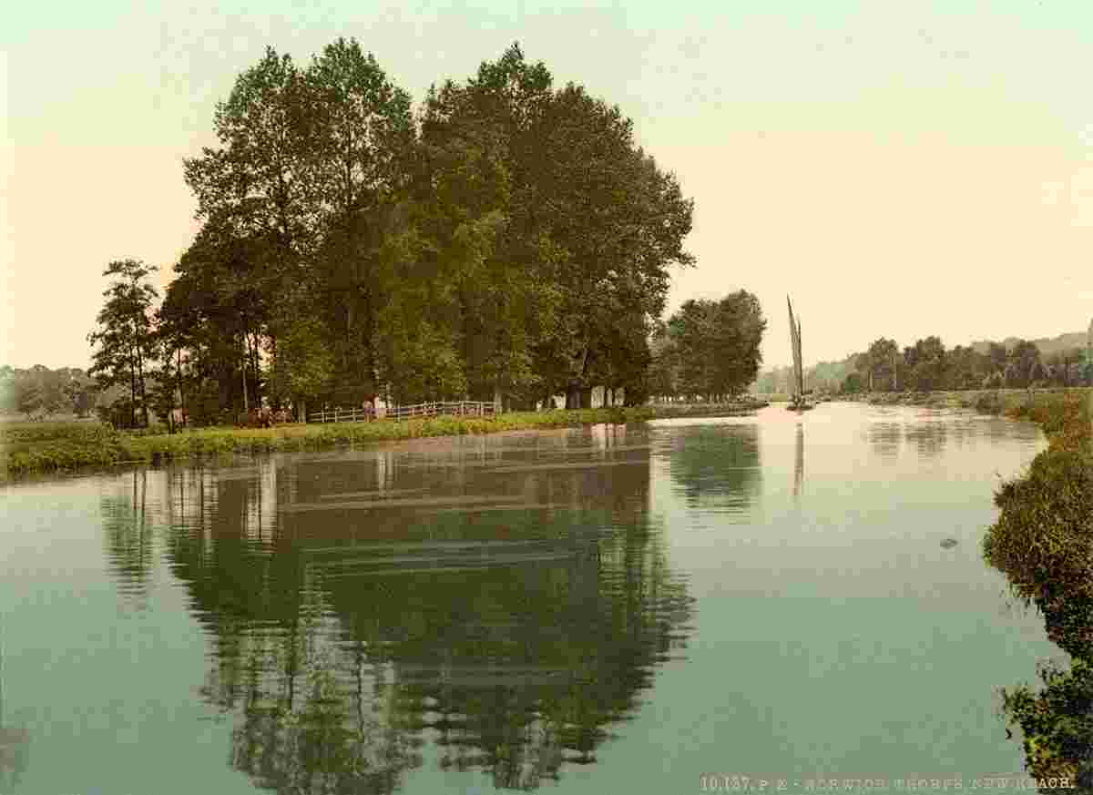
Thorpe, New Reach, 1890 |
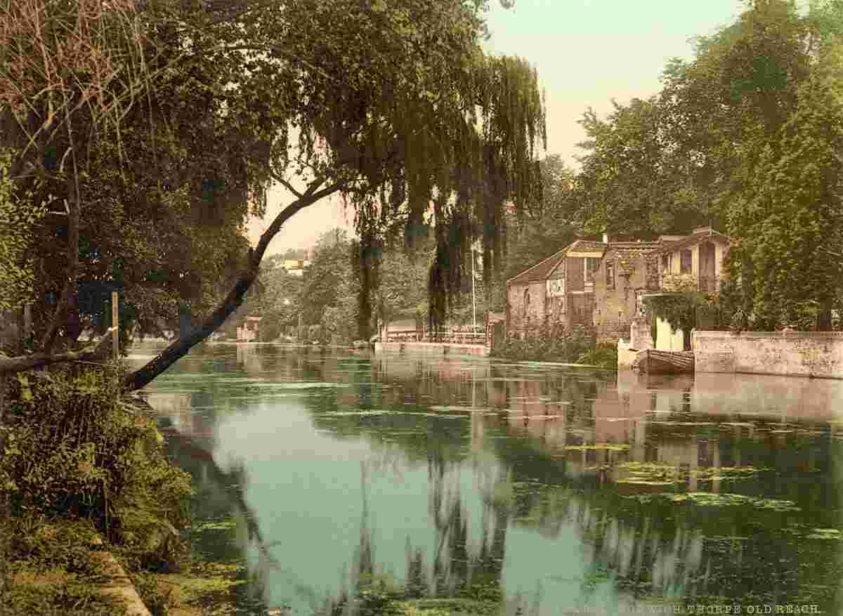
Thorpe, Old Reach, 1890 |
|