Old historical photos and images of Preston, Lancashire
|
A small historical reference
Geography: Preston is a city on the north bank of the River Ribble in Lancashire, England. The city is the administrative centre of the county of Lancashire and the wider City of Preston local government district. Preston and its surrounding district obtained city status in 2002, becoming England's 50th city in the 50th year of Queen Elizabeth II's reign.
Preston and its surrounding area have provided evidence of ancient Roman activity, largely in the form of a Roman road that led to a camp at Walton-le-Dale. The Angles established Preston; its name is derived from the Old English meaning "priest's settlement" and in the Domesday Book is recorded as "Prestune". In the Middle Ages, Preston was a parish and township in the hundred of Amounderness and was granted a Guild Merchant charter in 1179, giving it the status of a market town. Textiles have been produced since the mid-13th century when locally produced wool was woven in people's houses. Flemish weavers who settled in the area in the 14th century helped develop the industry. In the early-18th century, Edmund Calamy described Preston as "a pretty town with an abundance of gentry in it, commonly called Proud Preston". Sir Richard Arkwright, inventor of the spinning frame, was born in the town. The most rapid period of growth and development coincided with the industrialisation and expansion of textile manufacturing. Preston was a boomtown of the Industrial Revolution, becoming a densely populated engineering centre, with large industrial plants. The town's textile sector fell into terminal decline from the mid-20th century and Preston has subsequently faced similar challenges to other post-industrial northern towns, including deindustrialisation, economic deprivation and housing issues.
Preston is the seat of Lancashire County Council, houses the main campus of the University of Central Lancashire (UCLan) and is home to Preston North End F.C., a founder member of the Football League and the first English football champions.
Date of foundation:
History:
Population: 122 719
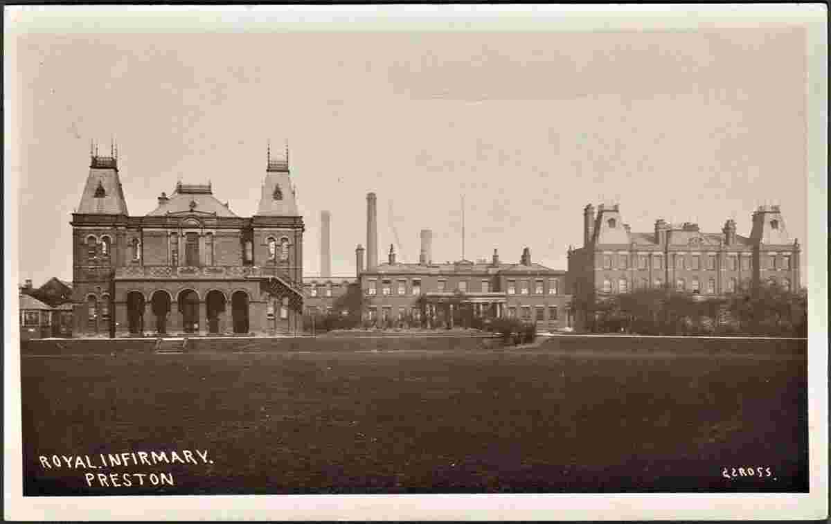
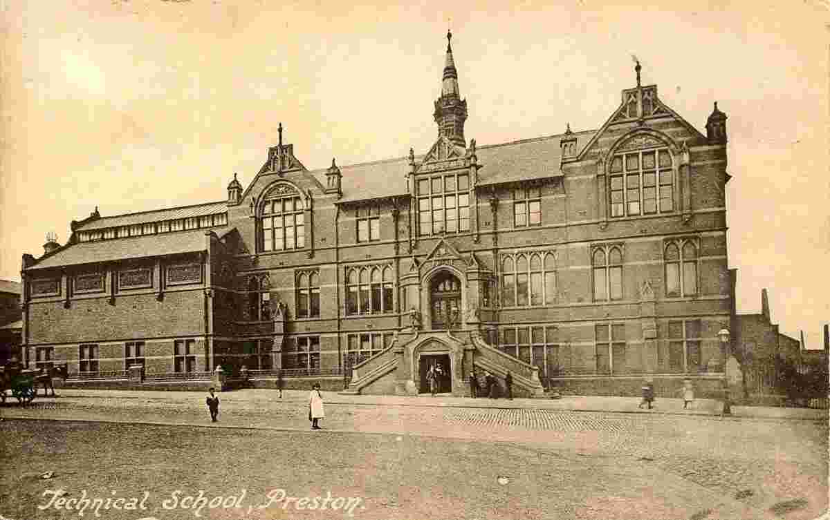
Sights:
|
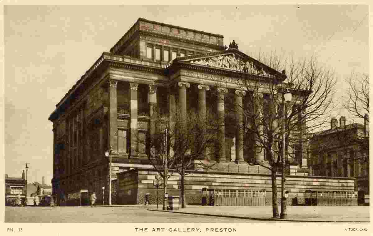
Art Gallery |
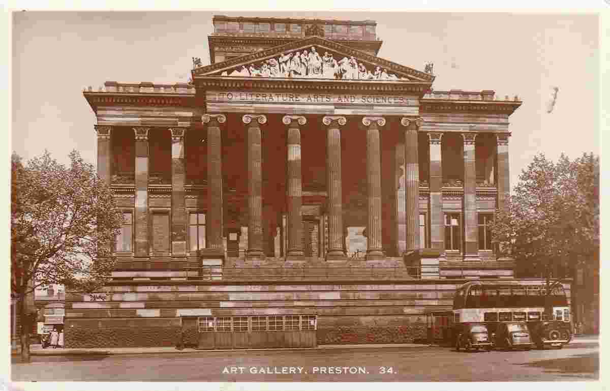
Art Gallery |
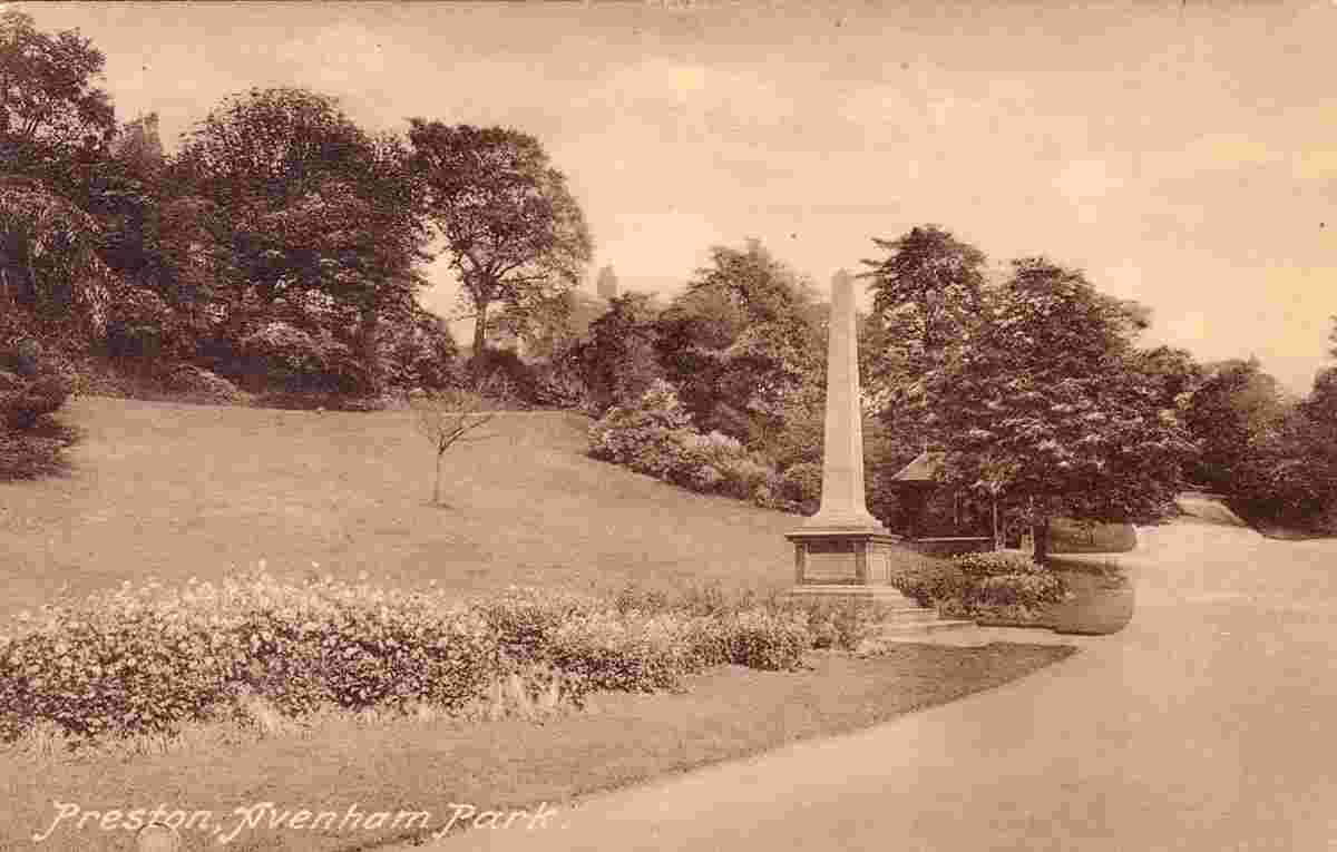
Avenham Park |
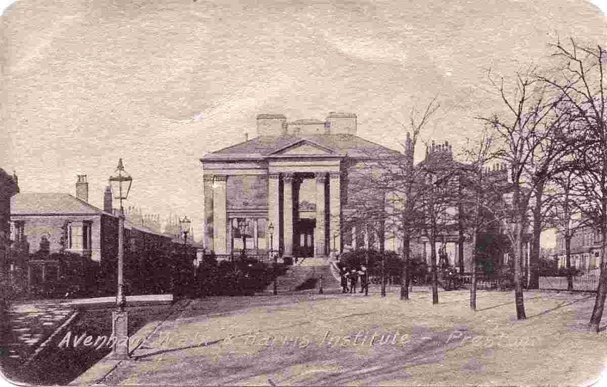
Avenham Walk and Harris Institute |
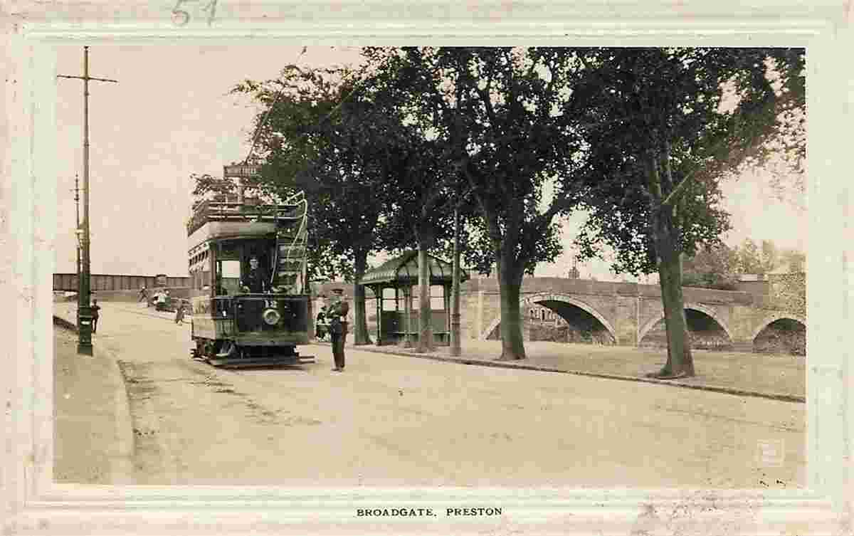
Broadgate |
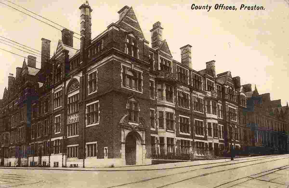
County Offices |
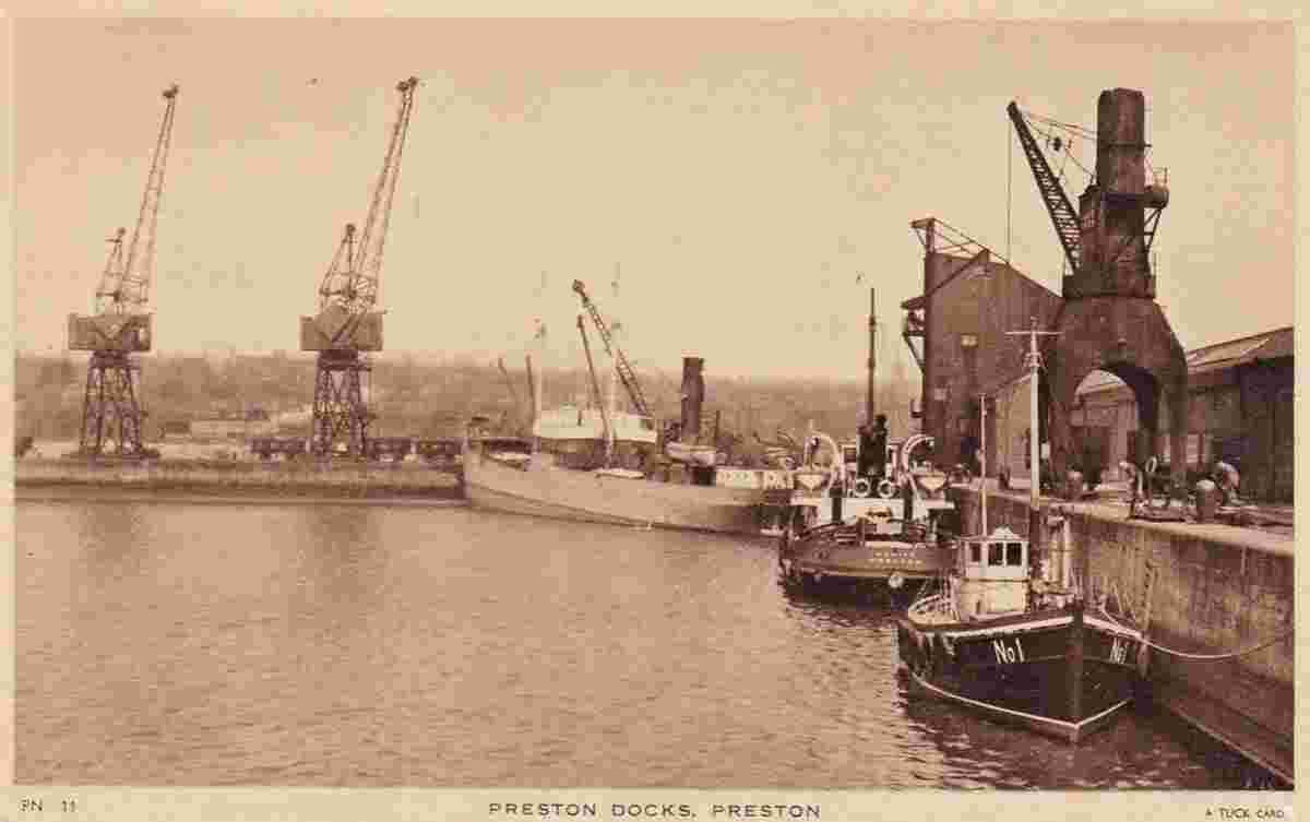
Docks |
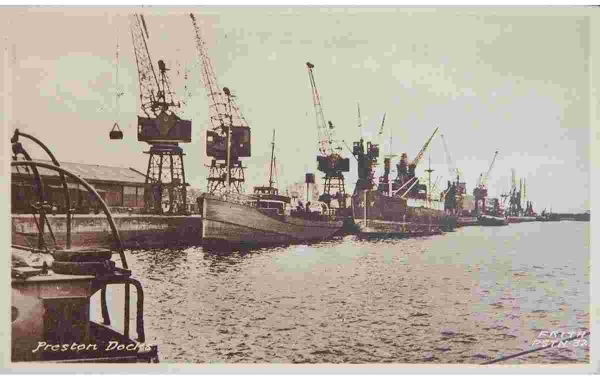
Docks |
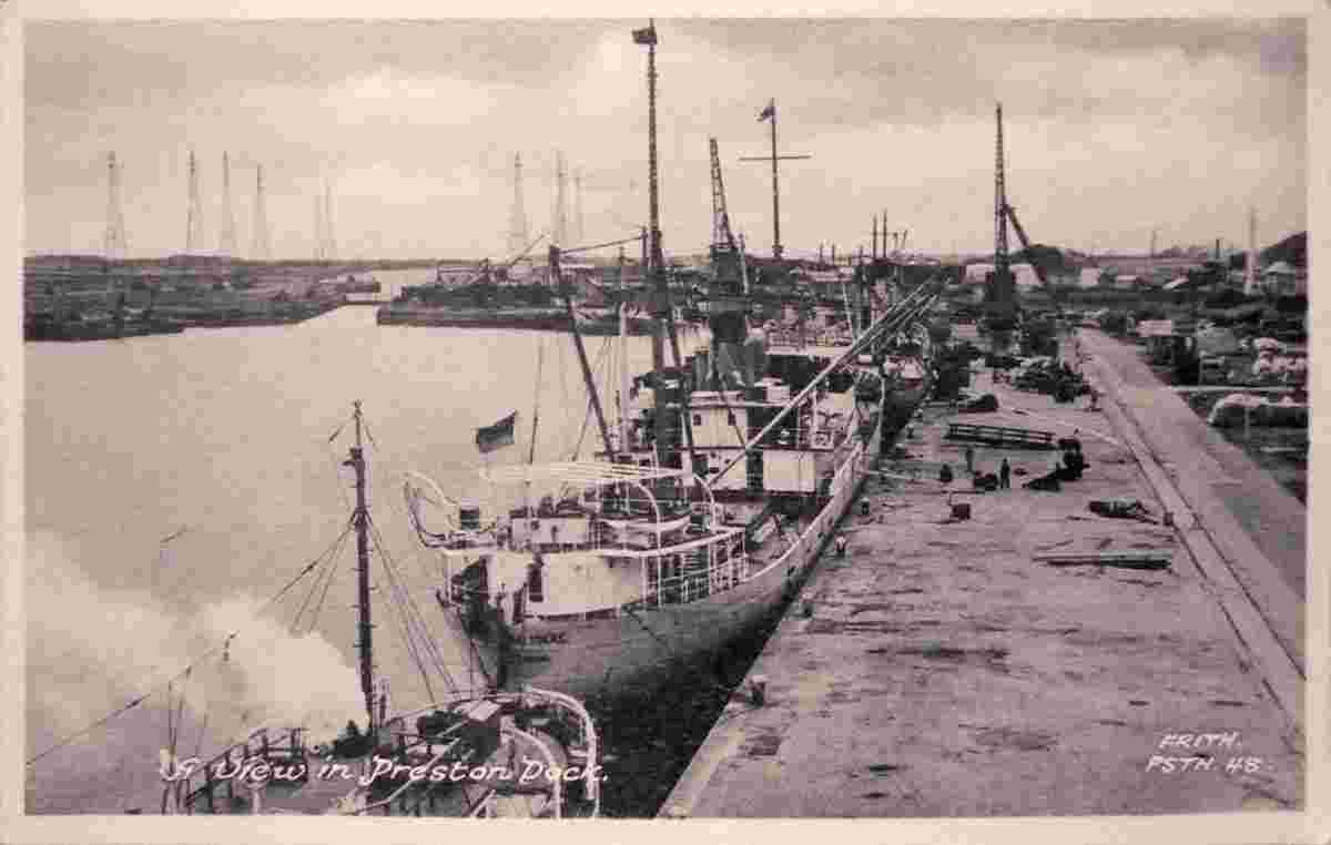
Docks, 1962 |
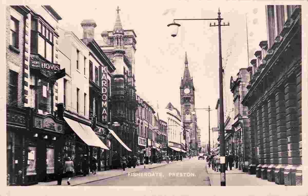
Fishergate |
Fishergate |
Fishergate, 1903 |
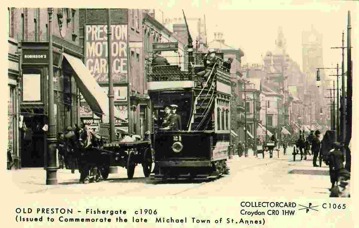
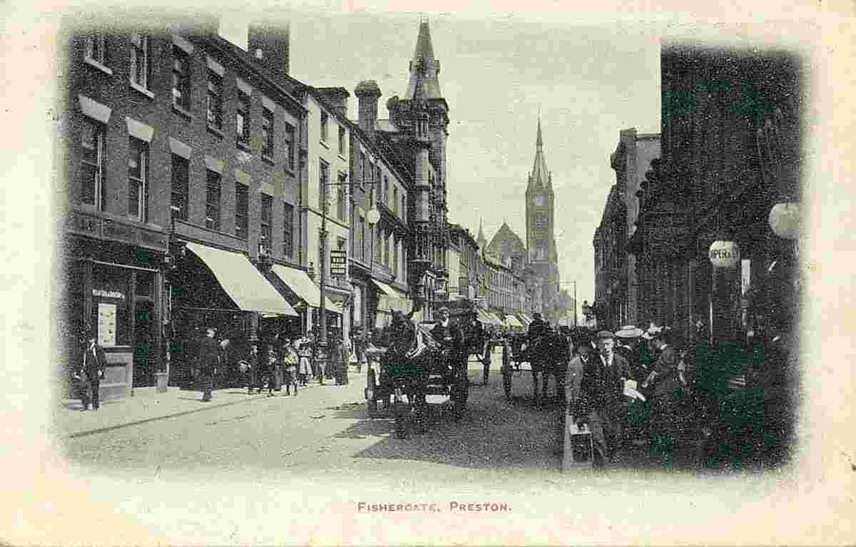
Fishergate, 1906 |
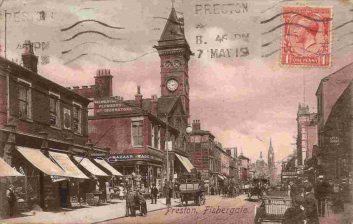
Fishergate, 1915 |
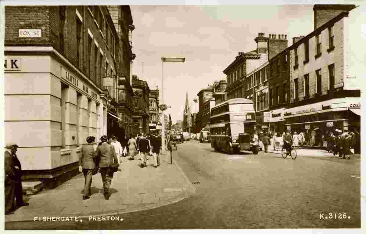
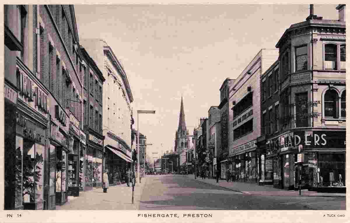
Fishergate, 1950s |
Fishergate, 1951 |
Fishergate, 1956 |
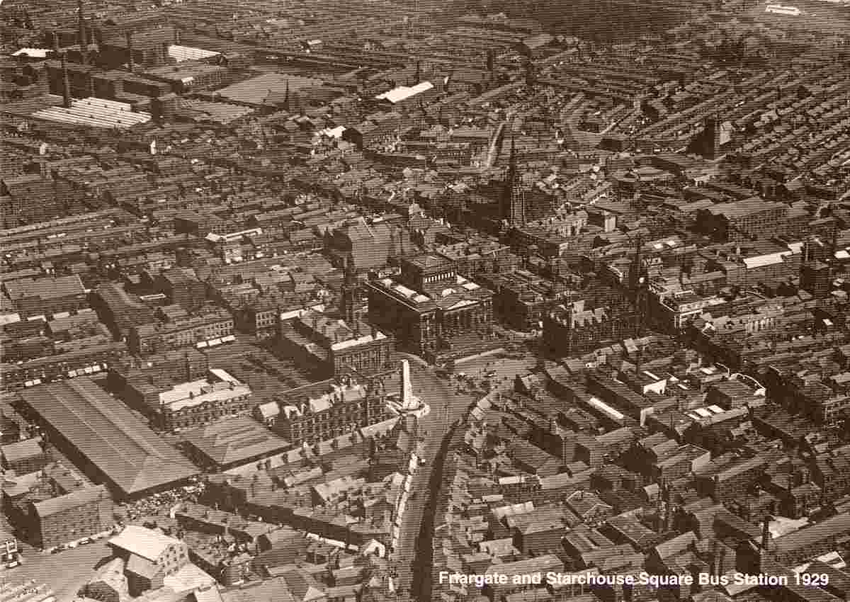
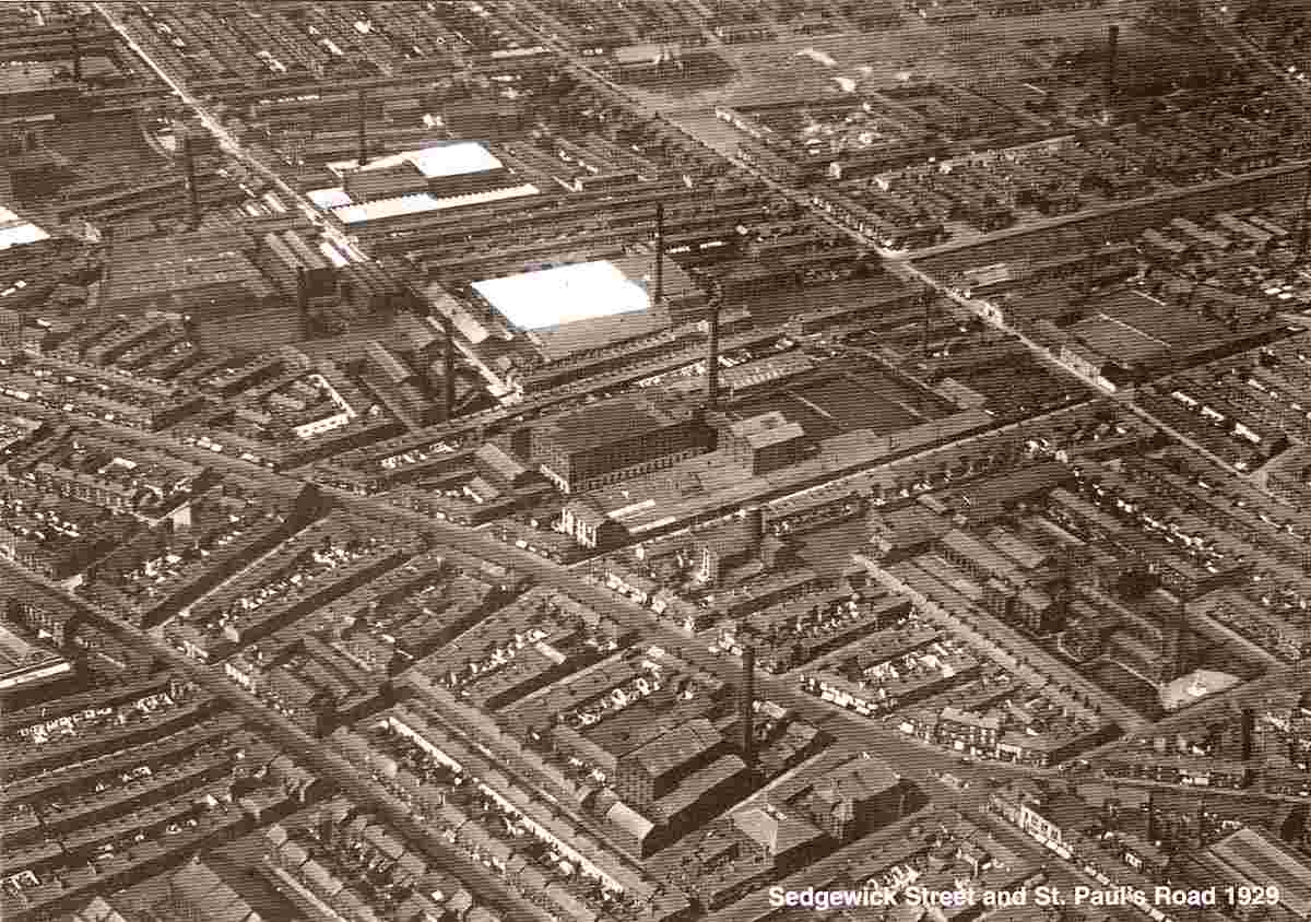
Fishergate and Starchouse Square, Bus Station, Aerial View |
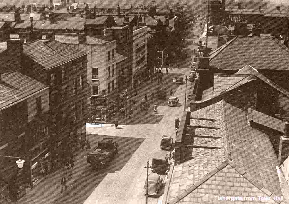
Fishergate from Town Hall |

Garstang Road |
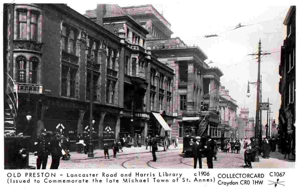
Lancaster Road and Harris Library, 1906 |
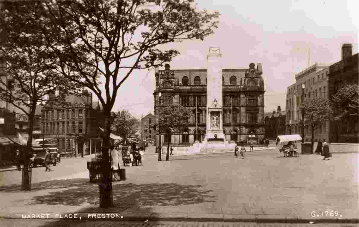
Market Place, 1957 |

Market Place |
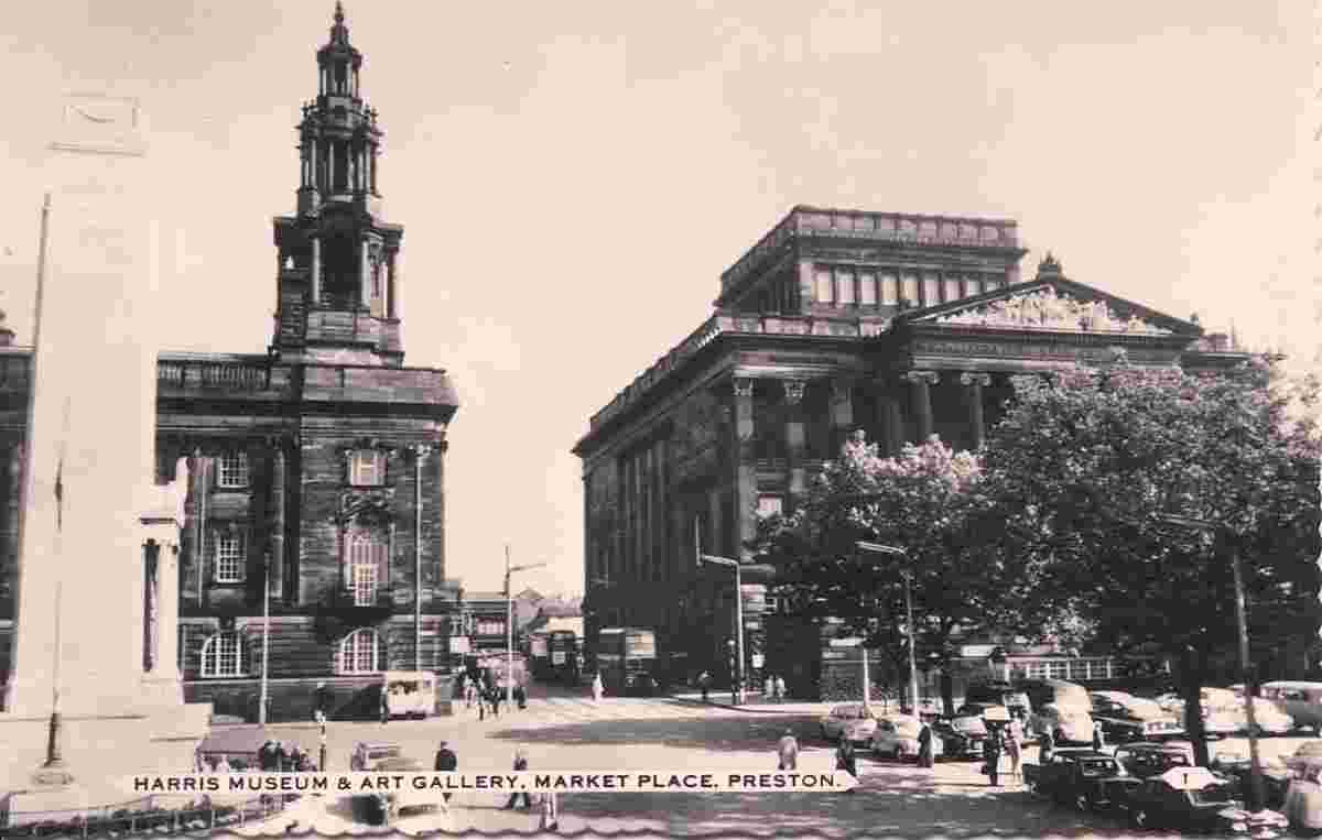
Market Place, Harris Museum and Art Gallery |
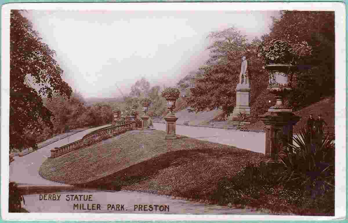
Miller Park, Derby Statue |
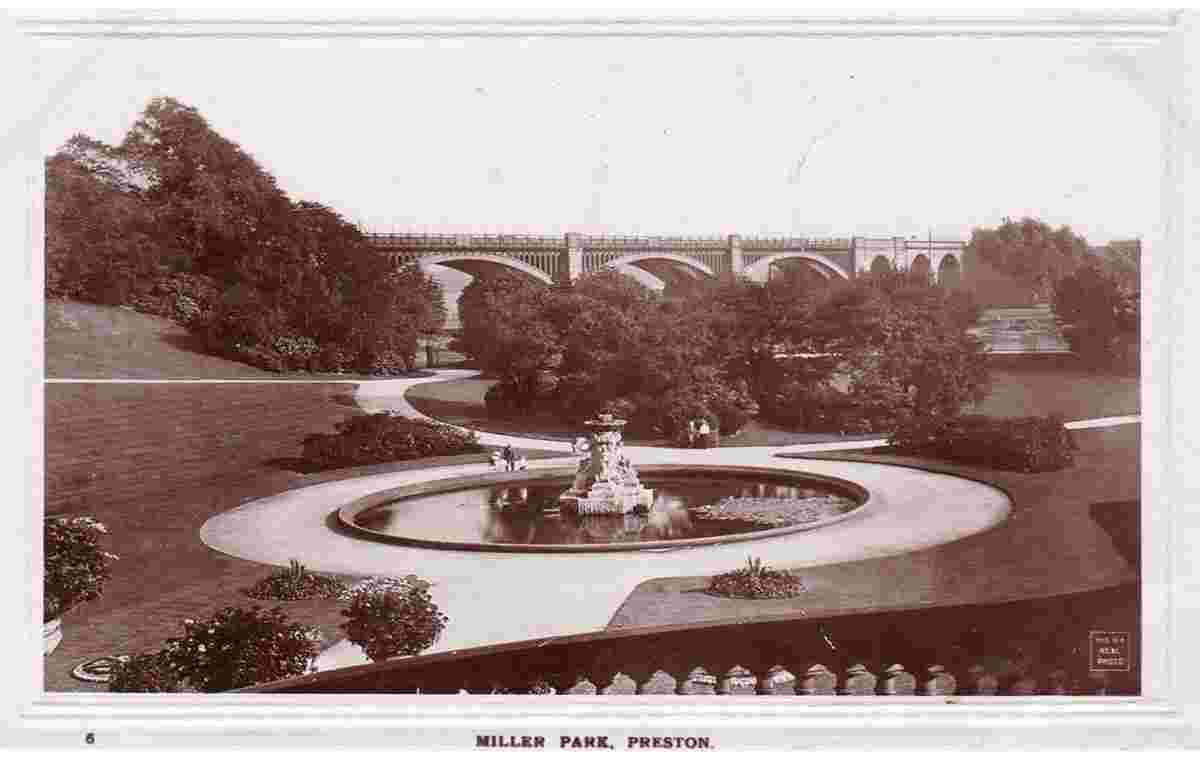
Miller Park, Fountain and Bridge, 1909 |
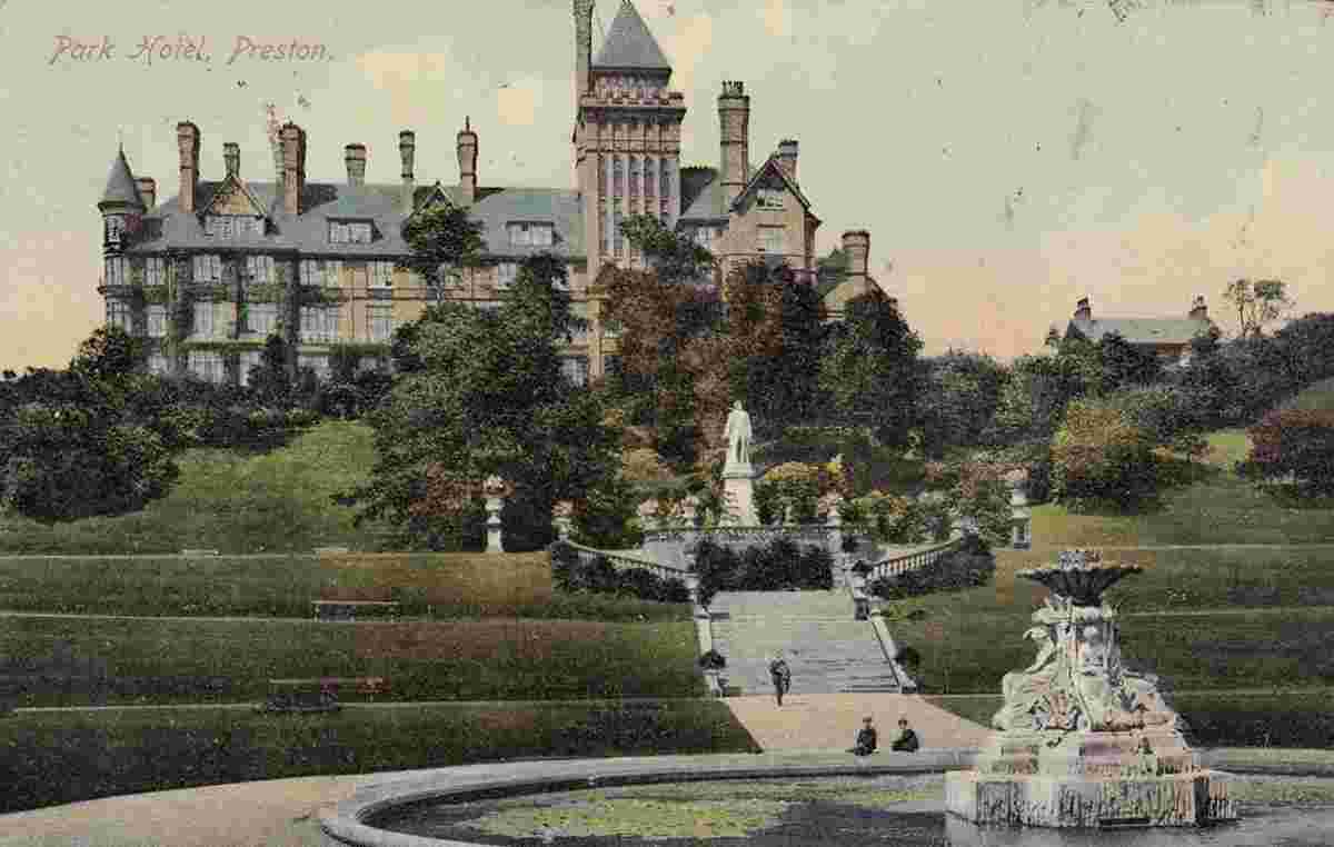
Miller Park, Park Hotel, Derby Statue and Fountain, 1910 |
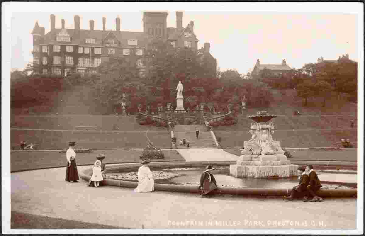
Miller Park, Park Hotel, Derby Statue and Fountain, 1910s |
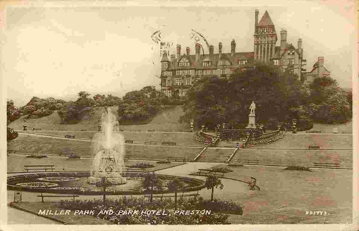
Miller Park, Park Hotel, Derby Statue and Fountain |
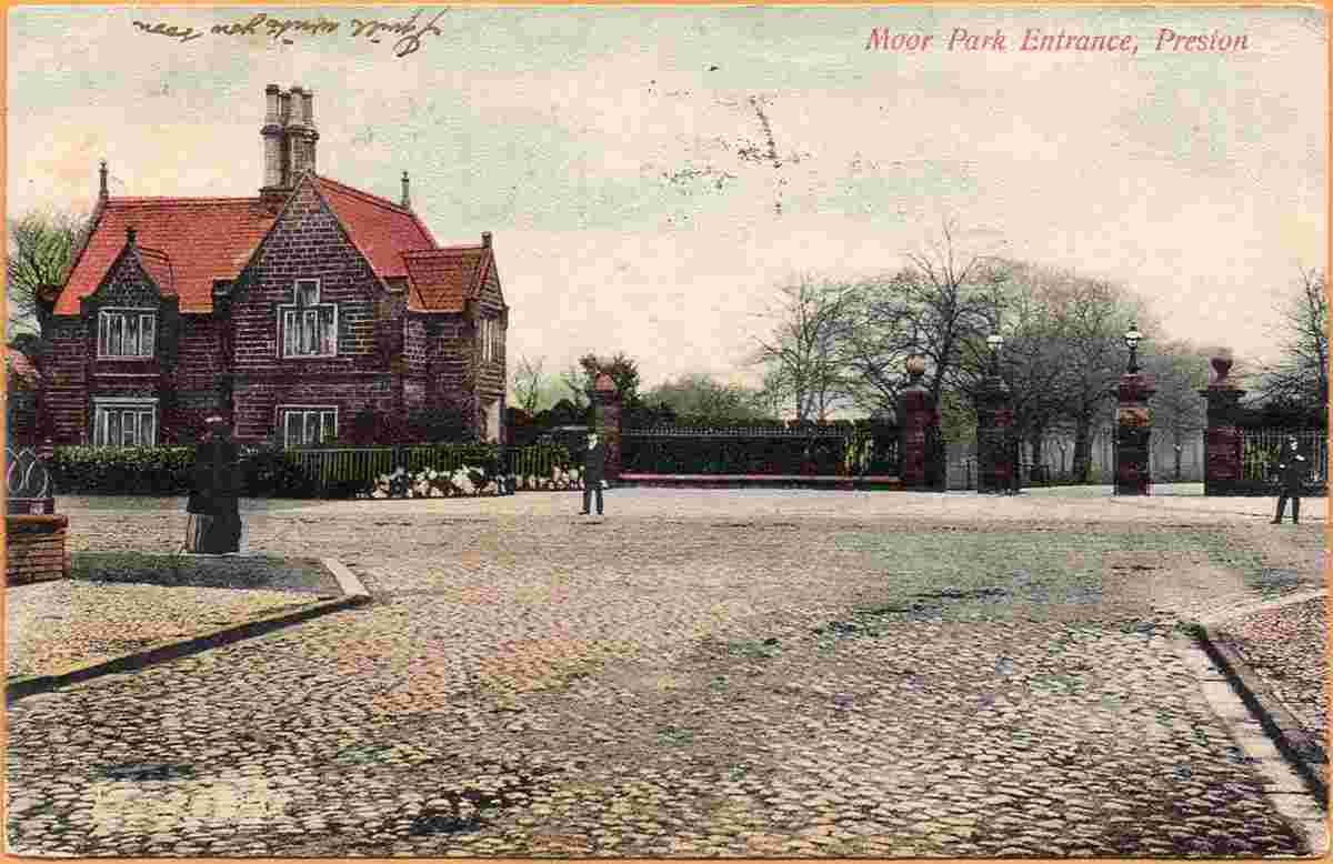
Moor Park Entrance, 1906 |
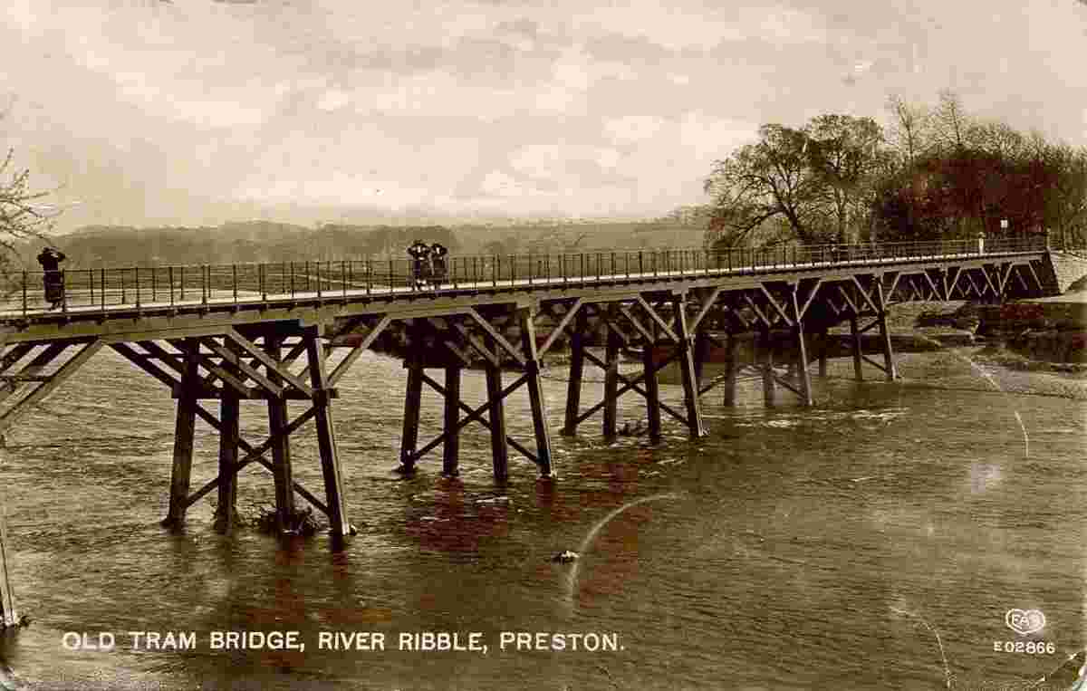
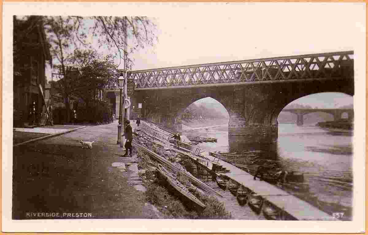
Old Tram Bridge, River Ribble, 1915 |

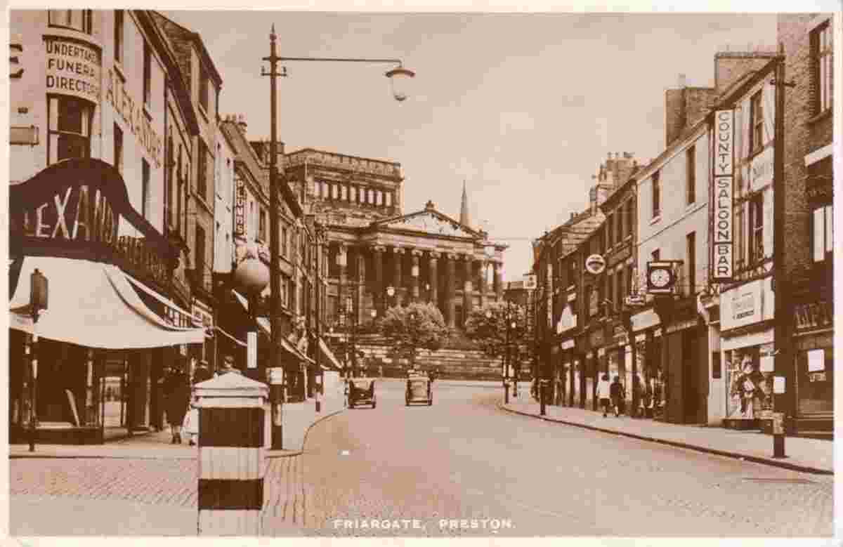
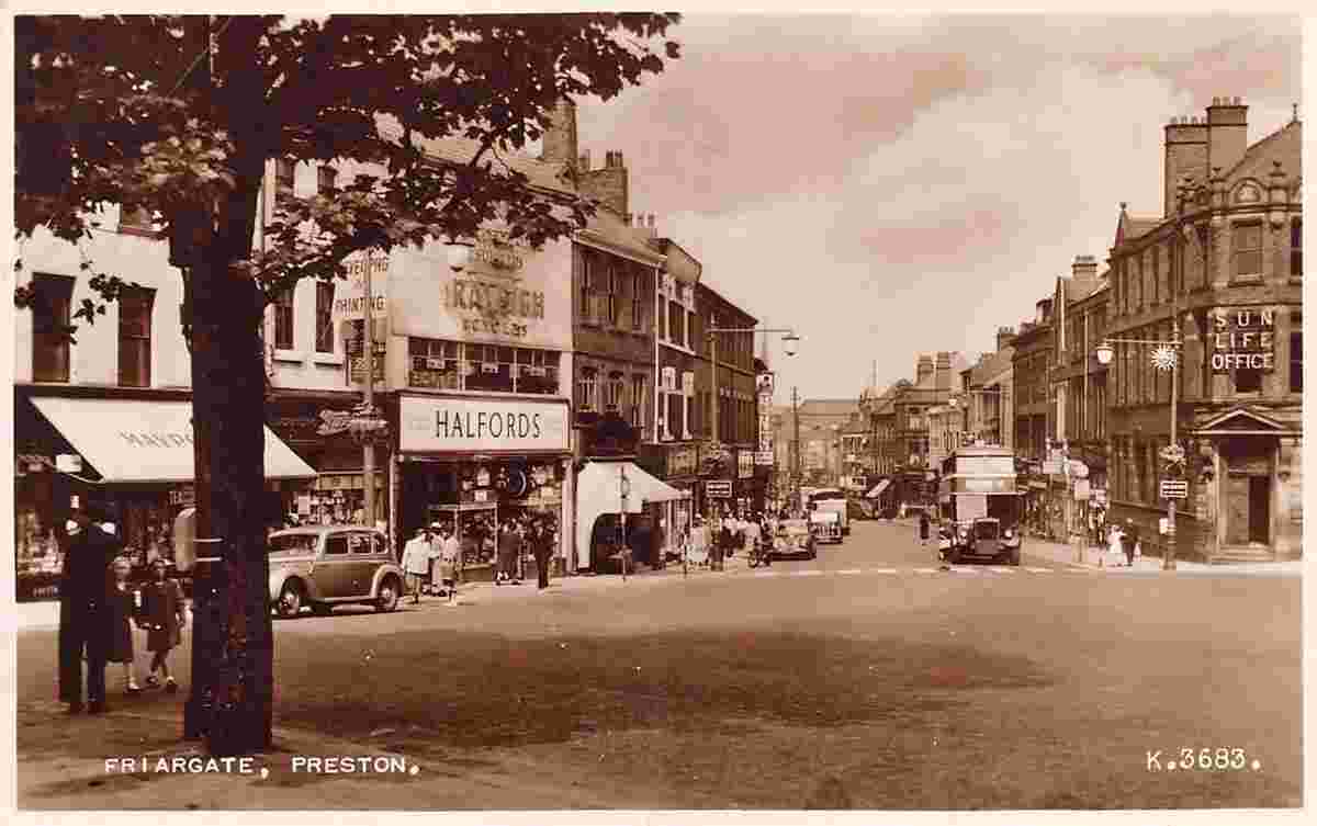
Post Office and Friargate |
|