Historical and old photos of Port Lincoln, South Australia in photos
A small historical reference
Geography: Port Lincoln - is a city on the lower Eyre Peninsula in the Australian state of South Australia. It is situated on the shore of Boston Bay, which opens eastward into Spencer Gulf. It is the largest city in the West Coast region, and is located approximately 280 km as the crow flies from the State's capital city of Adelaide (646 km by road). The city is reputed to have the most millionaires per capita in Australia. The town claims to be the "Seafood Capital of Australia". (Wiki)
Date of foundation: 1839
History: Matthew Flinders was the first European to discover Port Lincoln under his commission by the British Admiralty to chart Australia's unexplored coastline. On 25 February 1802, Flinders sailed his exploration vessel HMS Investigator into the harbour, which he later named Port Lincoln after his native county of Lincolnshire in England.
Population: 16 147
|
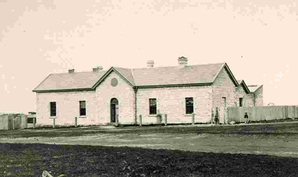
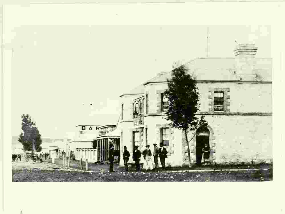
Court House and Police Station, stands on the corner of Washington Street and Adelaide Place, 1870 |
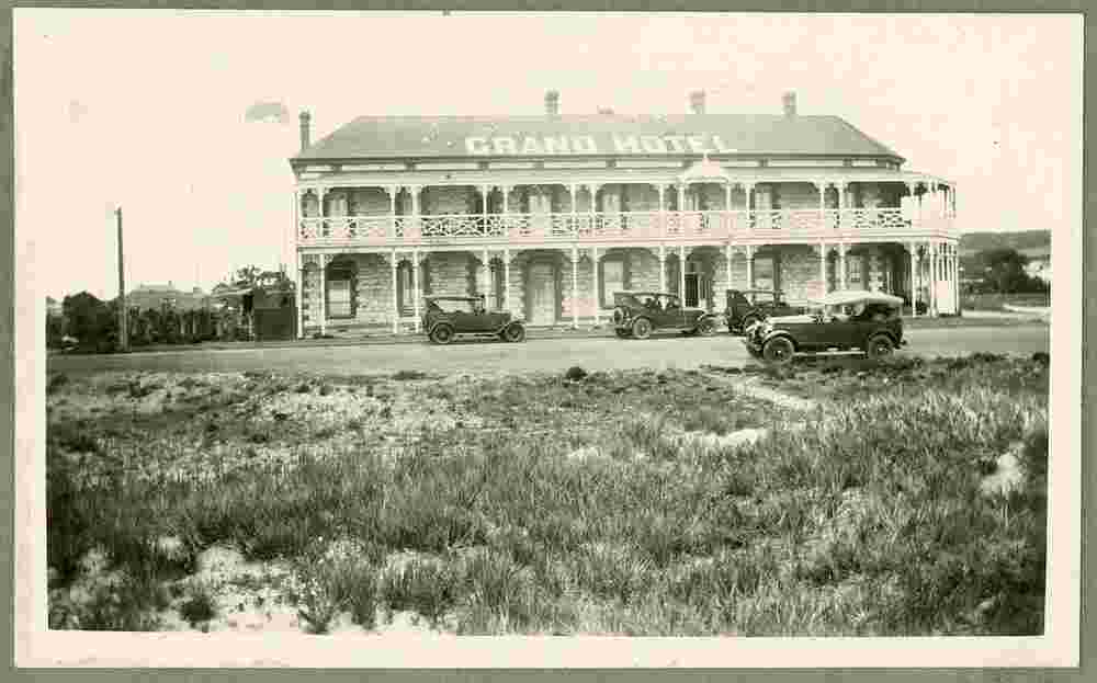
Grand Hotel, 1930 |
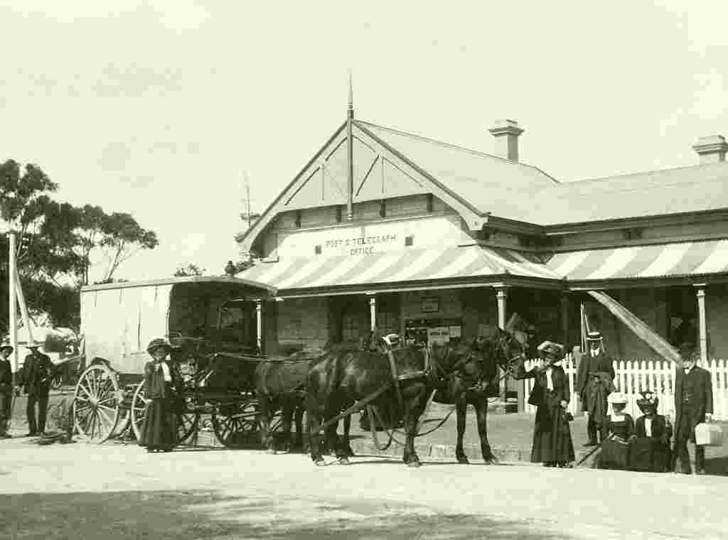
Group of ornithologists from the Australasian Ornithologists' Union outside Post Office, October 1909 |
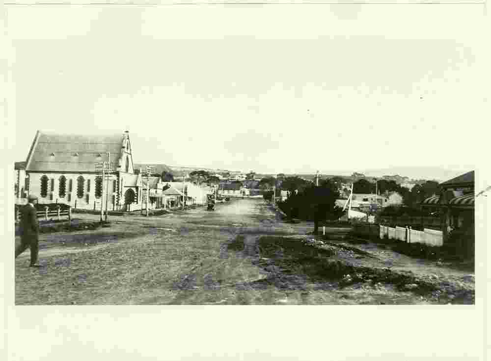
Liverpool Street, on the left - Methodist Church (erected 1867), 1890 |
Pier Hotel on Tasman Terrace, 1873 |
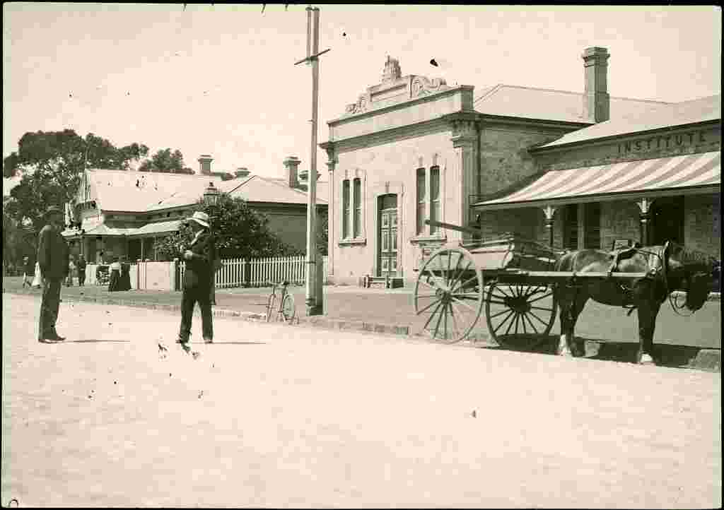
Post office and Institute, 1907 |
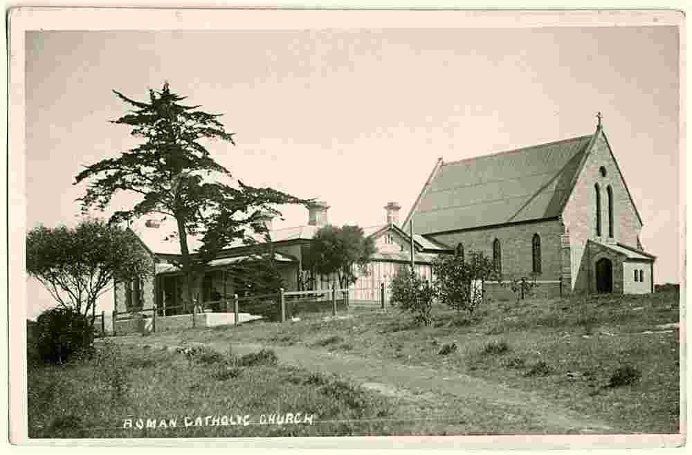
Roman Catholic Church St Mary's, 1917 |
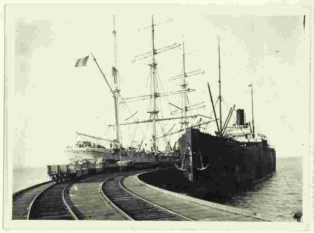
Ships at the jetty, circa 1920 |
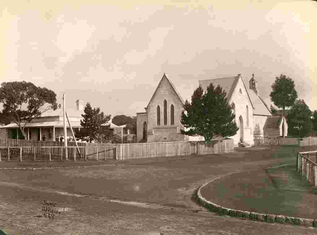
St Thomas Church of England, 1872 |
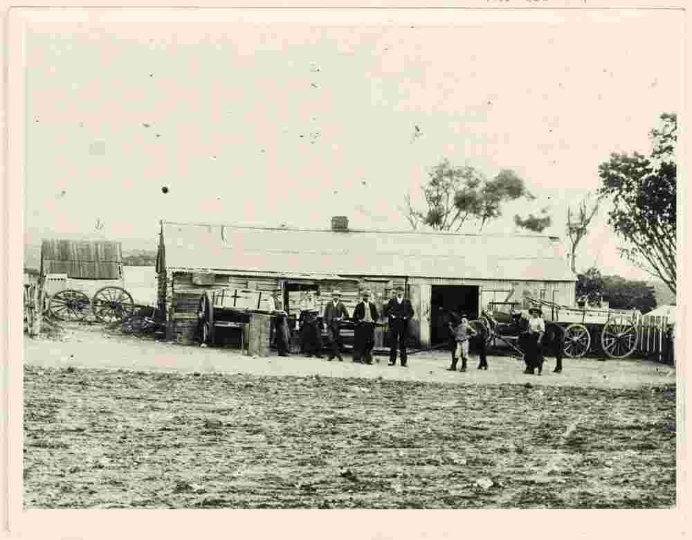
Stirling's Blacksmith shop in Lewis Street, circa 1900 |
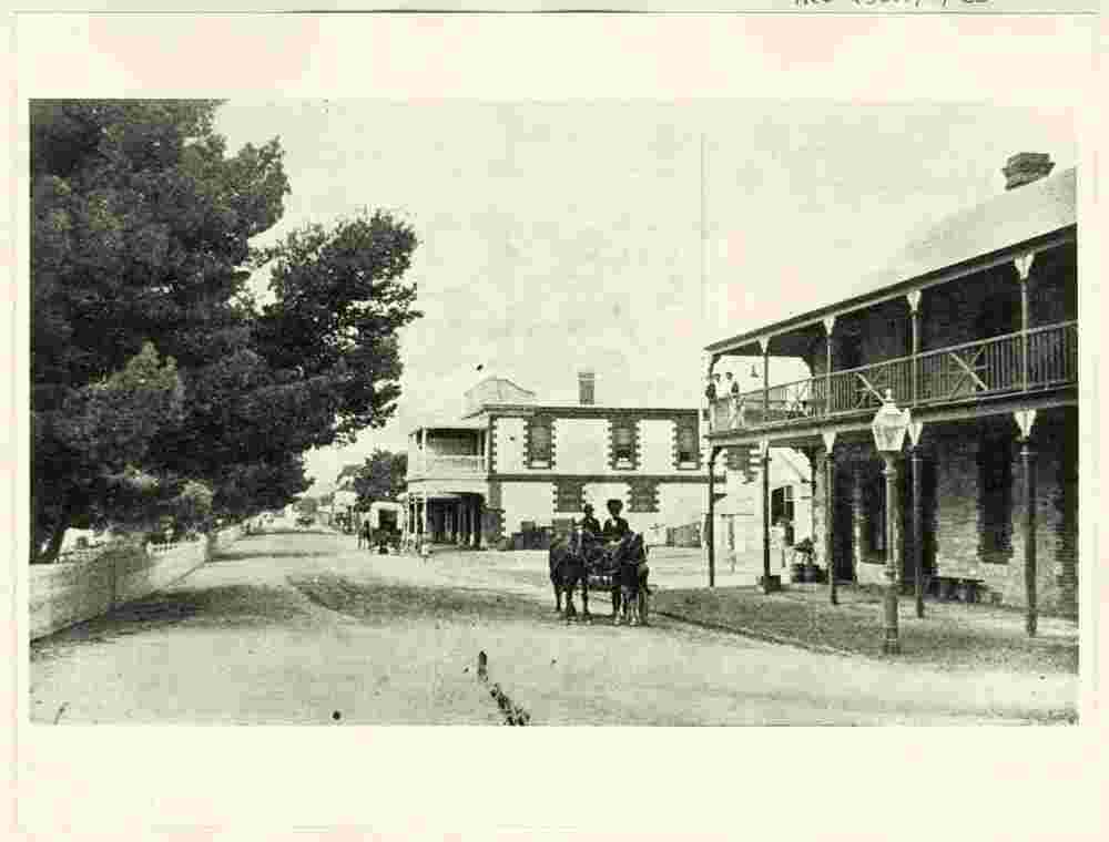
Tasman Terrace, 1887 |
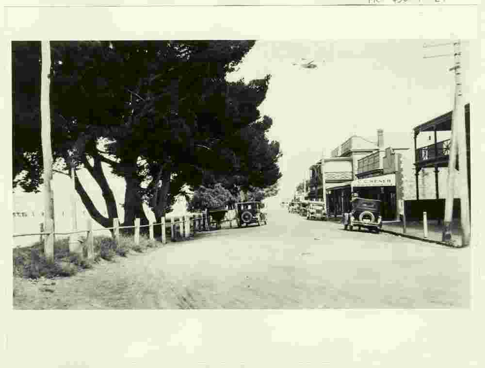
Tasman Terrace, 1940 |
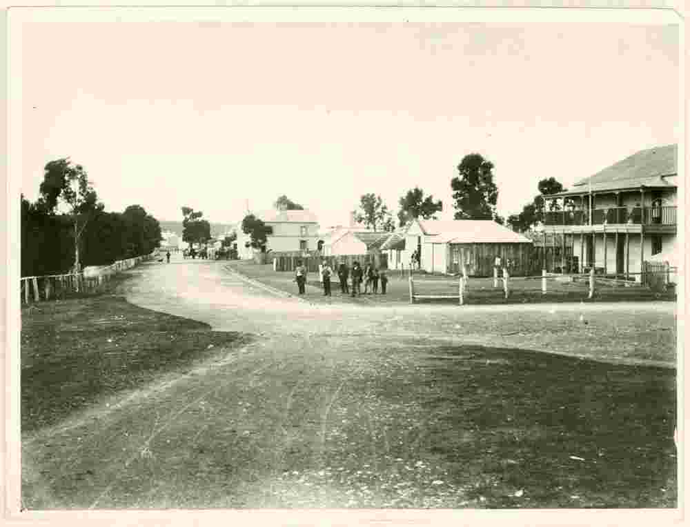
Tasman Terrace, looking north, 1911 |
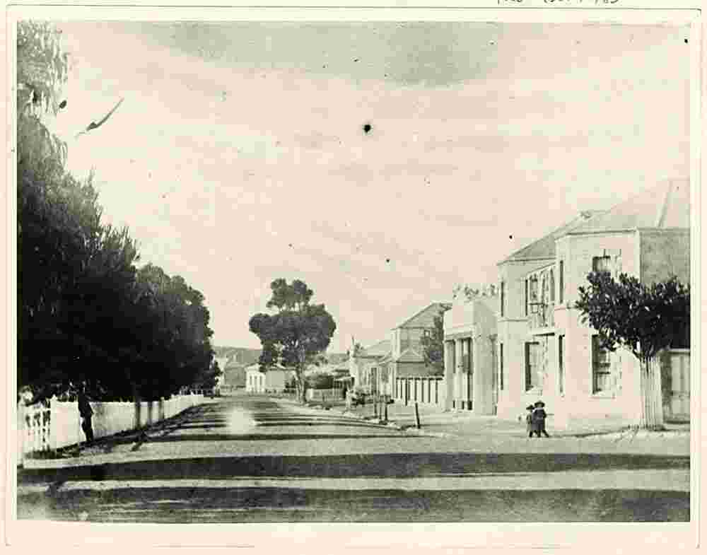
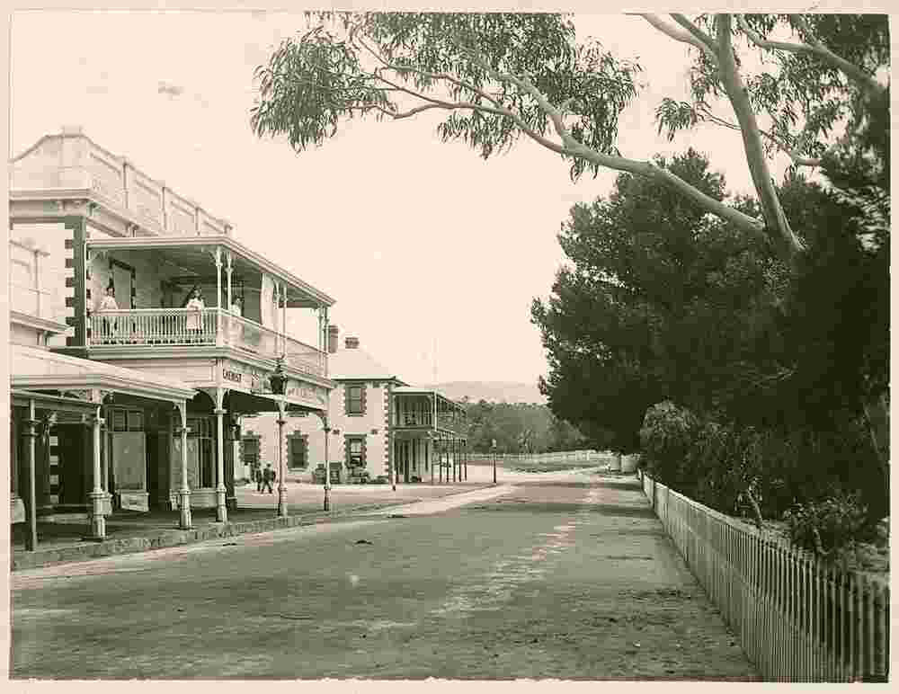
Tasman Terrace, looking south, 1890 |
View of Tasman Terrace, on the right - 'Hotel Corner' with the 'Pier Hotel', 1885 |
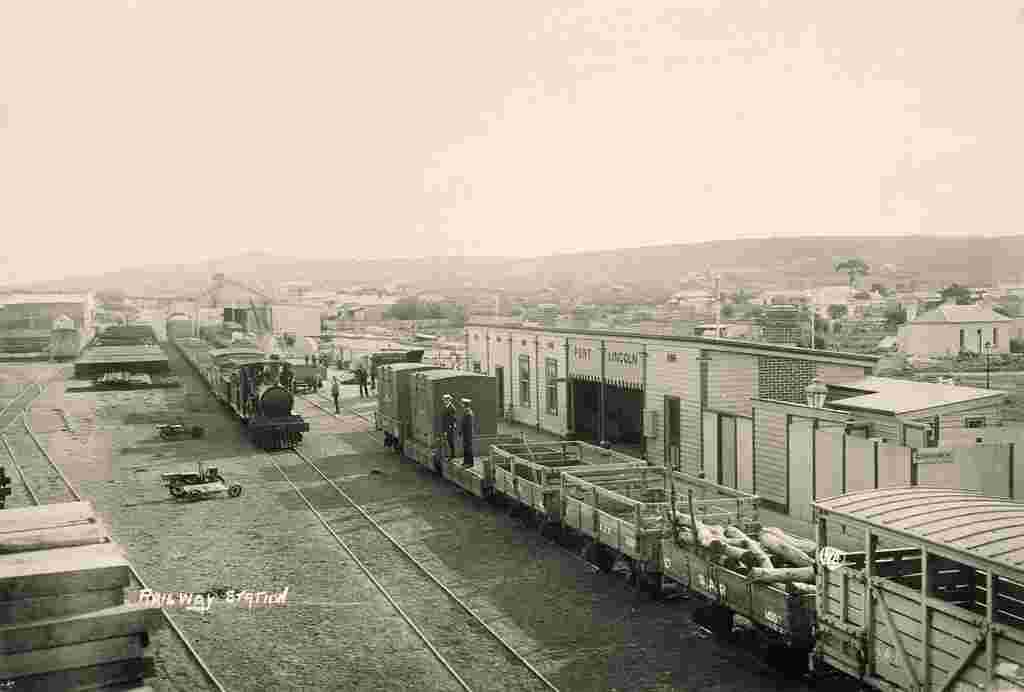
View of the railway yards and station, 1911 |
|